Very Warm Into Next Week

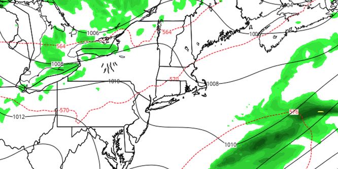
Showers and thunderstorms late Thursday are the leading edge of less humid weather that will arrive in Southeastern New England on Friday. Overall, the very warm to hot stretch will continue for a while.
FRIDAY
It will be a mild and humid start to the day, but a west wind will bring in much drier air during the day. The west wind and plenty of sunshine will help the temperature reach the upper 80s to low 90s inland, and mid to upper 80s near the coast. Friday night looks quiet and mild, with lows near 70.
SATURDAY
Morning sunshine will be followed by partly cloudy afternoon skies. A disturbance moving north of the area will most likely not come close enough for any showers and storms in our area. Look for highs inland near 90. It will be in the 80s at the beach. It does not look terribly humid, but it will not be as dry as Friday. You can expect the temperature to fall into the upper 60s to low 70s Saturday night. Patchy fog is possible near the coast.
SUNDAY
Sunday does not look much different than Saturday. Skies will be partly to mostly sunny. Highs inland will flirt with 90, and it will be in the 80s at the beach again. There will be a light west-southwest breeze.
EARLY NEXT WEEK
The relatively warm weather continues into the middle of next week. Monday will be partly sunny and breezy, with highs in the upper 80s to low 90s inland, and low to mid 80s at the coast. The southwest wind will increase to 10-20 mph in the afternoon. A disturbance passing through the Northeast could trigger a few showers or storms on Tuesday, but it looks like most of the rain will stay away. Highs will be near 90 again. Wednesday looks dry and warm, with highs in the mid to upper 80s. Cooler weather is likely late next week.


