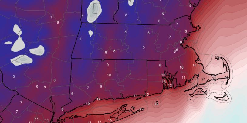
The week began with unexpected light snow in most of Southeastern New England. Convergence along a frontal boundary produced an area of snow Monday morning which coated untreated side roads. The front was leading edge of Arctic air that will stick around until the midweek.
MONDAY
Snow showers in the morning. An inch possible. Becoming partly cloudy, windy in the afternoon. Very cold, with temperatures hovering in the upper 20s then falling late in the day. Clear and frigid Monday night. Lows in the low to mid teens, wind chills near zero. 10-25 mph northerly wind.
TUESDAY
Sunny, but very cold. Highs in the mid to upper 20s. Wind chills in the teens. Clear and very cold at night. Less wind, lows in the teens.
WEDNESDAY
A very cold start, then mostly sunny and milder in the afternoon. Highs near 40. Lows in the 20s with dry skies Wednesday night.
THURSDAY/FRIDAY
The weather will be relatively quiet at the end of the workweek. Look for partly to mostly cloudy skies both days. Highs will be in the low 40s, and lows will be in the 20s.
SATURDAY
Mainly chilly rain showers are likely on Saturday. The precipitation may start as a mix of rain and snow. Highs will be near 40.
SUNDAY
Damp weather continues on Sunday. A soaking rain is unlikely, but it may stay showery with drizzle and mist. It will be milder, with highs near 50.


