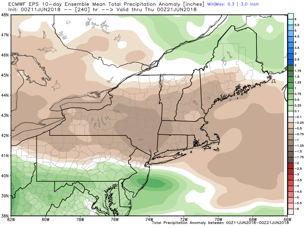
A generally warm and dry weather pattern is ahead for Southern New England in mid-June. The best chance of hot weather is late in the weekend and early next week. The rain threat is pretty low for at least the next week.
The workweek begins with pleasant weather Monday and Tuesday. It will be a bit cool Monday afternoon with temps near 70. Expect a comfortable Monday night as it dips into the upper 40s to low 50s by dawn on Tuesday. While not near any record low temperatures, that is still pretty cool for this time of the year. The normal low is in the mid to upper 50s.
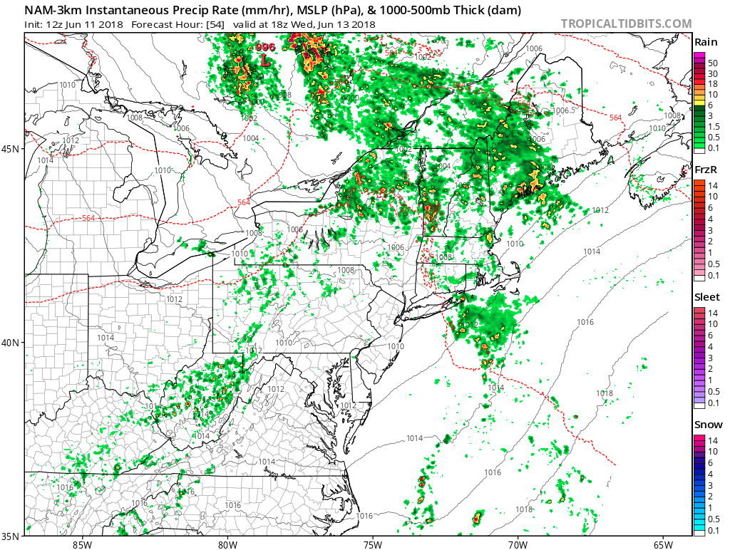
Tuesday should be a great day with highs in the low to mid 70s and lots of sunshine. A warm front brings a scattered showers/thunder threat from late Wednesday morning into the early afternoon. It also represents the leading edge of muggy air. Expect dew points in the 60s Wednesday afternoon. Most or all of the day will be dry as the rain is not likely to be widespread.
It quickly turns less humid on Thursday. It will be a warm day with highs in the 80s. The weather looks quiet through the Father’s Day weekend. Expect partly cloudy skies on Friday. A stray shower cannot be ruled out. Highs will be in the 70s to near 80.
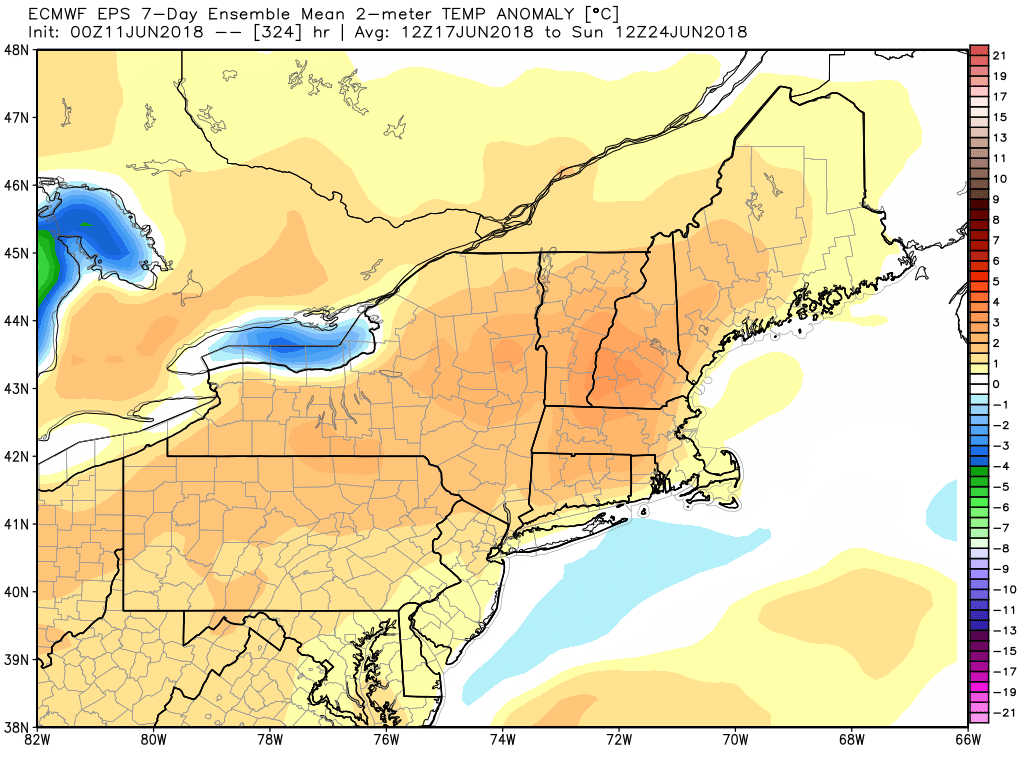
Both weekend days will likely be dry and seasonable or warmer than normal. That means highs not far from 80, and lows in the upper 50s to low 60s. It looks warm early next week, too.