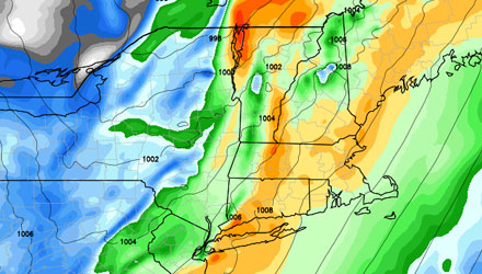
The stretch of gorgeous, quiet MA and RI weather will come to a screeching halt in the middle of this week. After a chilly start, we enjoyed some nice, mild sunshine by midday Monday. Clouds will increase Monday night in advance of a combination of weather systems heading our way. Here are some details on what to expect Tuesday and Wednesday in Southern New England.
- A warm front will move through the area on Tuesday. Some showers are possible from mid-morning through the afternoon. The highest likelihood of showers is right around midday.
- After the showers arrive, the wind will pick up out of the south. 15-30 mph winds are likely Tuesday afternoon.
- The strongest winds with this system will be Tuesday night and near the coast. Some 30-45 mph gusts are possible at the immediate coast and on the islands.
- It will be very humid and mild Tuesday night. Temperatures will stay in the mid to upper 60s.
- Showers and t-storms will roll through from mid to late Tuesday evening through the Wednesday morning commute.
- Most of the showers should pass by midday Wednesday.
- We may see some late-day sunshine on Wednesday. Highs will be in the low to mid 70s.
- Rain totals for the entire event should be between 0.5-2.0″, with the lowest amounts on the Cape/Islands. There is the potential for 2+” of rain in Western New England.


