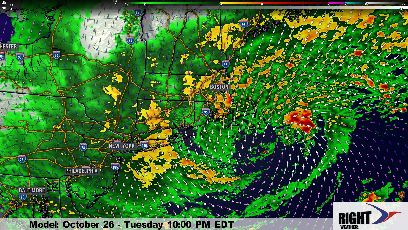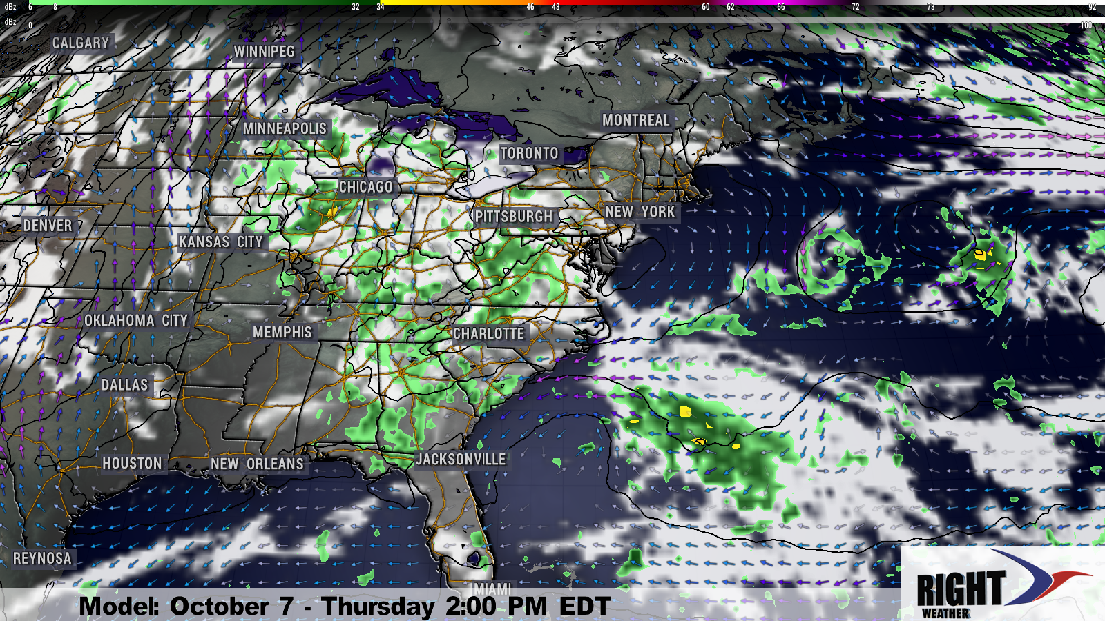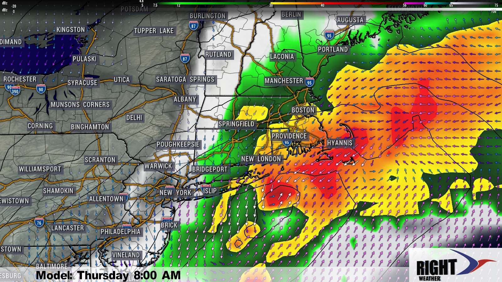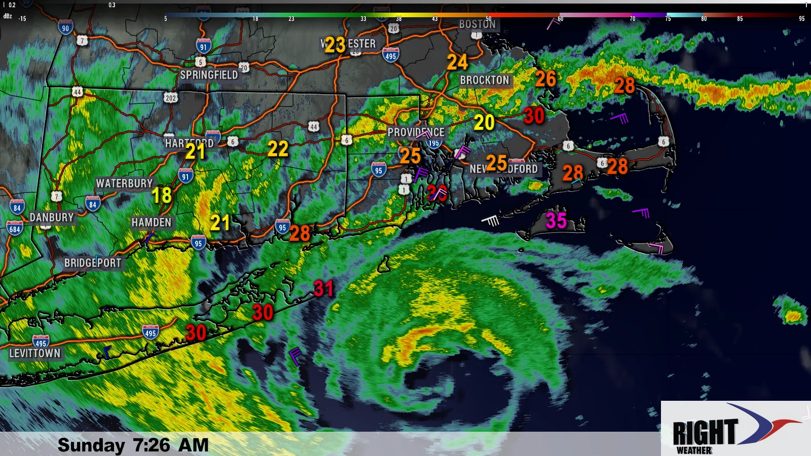
After seeing this morning’s computer model runs, I think it is safe to say that we have reached the point where the forecast needs to change if the Northeast is to be spared a direct impact from Hurricane Sandy early next week. The exact details on timing and track are still uncertain, but all reliable computer models bring the center of the storm inland somewhere between the Delmarva Peninsula and the coast of Maine.
Most computer models keep Sandy’s winds at, at least, a strong tropical storm, and several have it as an even more powerful hurricane. The most dire predictions are for a central pressure similar to a category 3 or 4 hurricane. I have little doubt that Sandy will be a force to be reckoned with early next week.
Wind damage potential from Sandy
Sandy is a late-season hurricane. The water off the Southeastern United States coast is still relatively warm, but the storm will be encountering some much cooler water as it moves north. Unlike a lot of tropical systems, Sandy’s forward speed will likely not be accelerating rapidly due to influence from the jet stream. The storm should become post-tropical before it makes landfall, but that does not mean that it will be weakening rapidly. If Sandy is still carrying 75 mph max winds near the center when it makes landfall, then I would expect tropical storm force winds to extend outward for more than 200 miles from the center. An early estimate is that 400 miles of coastline could experience 50+ mph winds from this storm. 400 miles is the distance from Cape Cod to the Delmarva. The strongest winds will be near the center of the storm, but the wind damage potential is high for a big part of the Northeast – especially those near the coast. We’ll have more specifics once the storm gets north of the Bahamas over the Atlantic Ocean.
Flooding rain potential from Sandy
Any tropical system can bring flooding rain as it passes by. Sandy brought 3″ of rain to Jamaica well before the eye of the storm reached the coast on Wednesday afternoon. An area spanning 200 miles (either way) from the center of the storm could see 3+” of rain, with the potential for 6-12″ in the areas hardest hit. 3-6″ of rain is more than enough for minor river/stream flooding. 6+” of rain can lead to moderate to severe river/stream flooding. Some flash flooding in poor drainage areas is likely in any heavier rain bands that move through.
Rough seas, surf, coastal flooding from Sandy
The storm should be both large and intense, and, as a result will be a prolific wave maker for the entire East Coast. Seas near the center of the storm are forecasted to be 30-45 feet, and surf will begin to increase from the Mid-Atlantic to New England by Saturday night. The prolonged period of rough surf, and astronomical high tides, are likely to cause beach erosion. It’s possible it could be severe beach erosion if the storm does not move quickly. Coastal flooding, and a significant, damaging storm surge, are major concerns near the area where the storm makes landfall.
Timeline for Sandy
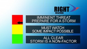
There are some differences in the computer model projections for when Sandy arrives in New England. Right now, the best timeframe is between Sunday night and Tuesday night. That is still a wider range than I would like to give, but it depends on the track Sandy takes and which direction it approaches New England from. I would complete any preparations for the storm by Sunday afternoon.
You can download the free RightWX app for Android and iOS devices. All updates, warnings, etc., will be available on the app which also includes a radar, futurecast, and hurricane section.
