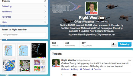
Here is what you’re missing if you are not following @rightweather on Twitter. As you can see, we are also on Pinterest. In the coming days, if Sandy still looks like a threat to the Northeast, you will see dozens of Tweets daily from @rightweather and @fredcampagna. Follow us today!
06Z NOGAPS – Strong tropical storm or hurricane crossing Long Island on Sunday. Bad news for the Nor http://t.co/TgZGVcyd
— Right Weather (@RightWeather) October 23, 2012
Here is how the 00Z ECMWF compares with the rest of the guidance. It jumps ship on Saturday with its westward track. http://t.co/R4YpXwAP
— Right Weather (@RightWeather) October 23, 2012
00Z Canadian Ensemble members. GGEM Global is still very bad news for the Northeast. Very intense st http://t.co/ucNT4nWc
— Right Weather (@RightWeather) October 23, 2012
Could be all or nothing from Sandy in New England. If it slides east after hitting Bahamas, it escapes. Otherwise, nowhere to go but N-NW.
— Right Weather (@RightWeather) October 23, 2012
Early 12Z hurricane models are slightly farther NW than 06Z models with the consensus track for Sand http://t.co/ejNKMDkC
— Right Weather (@RightWeather) October 23, 2012
12Z Computer Models. Consensus is farther NW than 00Z run. Still east of ECMWF, Canadian. Intensity http://t.co/VekyM79d
— Right Weather (@RightWeather) October 23, 2012
FWIW – the 12Z NAM is faster and 200+ miles farther northwest at 12Z Friday than 0Z run. HUGE track shift from prior.. http://t.co/oTEOwLGT
— Fred Campagna (@FredCampagna) October 23, 2012
Odds of Sandy being purely tropical if it arrives in Northeast are nil. Synoptic setup, cool water…Still a big storm, just not tropical.
— Right Weather (@RightWeather) October 23, 2012


