Last October featured 85 degree heat on Columbus Day weekend, and accumulating snow before Halloween. While the weather likely won’t be quite that wild in the next seven days, we may go from temperatures in the mid to upper 70s inland, to 40s with rain – and possibly a few wet snowflakes in those same areas during the Columbus Day weekend.
Slow-moving, but weak storm
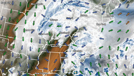
Before we start throwing the s-word around, we need to talk about the slow-moving, but relatively week, storm that will be bothering us through the middle of the week. We will be on the mild side of this broad circulation that is centered well to our west. A few showers are possible from Tuesday afternoon through Thursday. Most of the time it will not be raining, and when it’s not raining, it should be decent weather, with temperatures during the afternoon ranging from the upper 60s near the coast to 70-75 inland – if there’s a bit of sunshine. It will stay mild at night, with lows Tuesday through Thursday night in the upper 50s to low 60s.
Right now, Friday and Saturday look pretty nice. Both days should be mild, with highs inland in the 70s under partly to mostly sunny skies.
Big changes this weekend
It is still pretty early in the game, but it looks like we will be seeing wholesale weather changes at some point during the Columbus Day weekend. A front will move through Southern New England, and a wave of low pressure will develop on the front once it is offshore. As a result we’ll see some rain developing in the sharply cooler air behind the front. With high pressure to our northwest, the wind will be out of the north-northeast, and the temperature will steadily fall through the 50s.
If it all comes together just right (or wrong, depending on your opinion), there could be some wet snowflakes mixing in from the Berkshires to Worcester County and Northern New England sometime between Sunday and Tuesday. Keep in mind, this is still nearly a week away, and any number of factors can change and lead to a different scenario in New England. For instance, the front may not get far enough offshore to allow the colder air in behind it, or the wave of low pressure may not develop close enough to the coast, sparing New England any chilly rain and/or wet snowflakes. This time of the year, with the ocean temperature still near 60 degrees, the odds strongly favor not seeing snow, but stranger things have happened.
The one thing that we’re confident about is a much cooler second week of month compared to the mild weather we’ll enjoy into this weekend.


