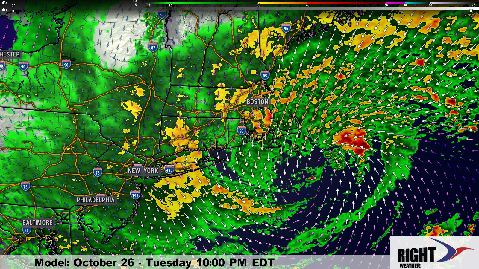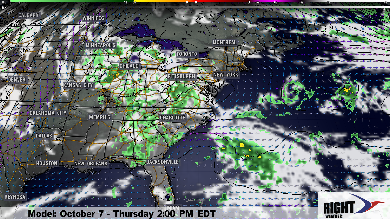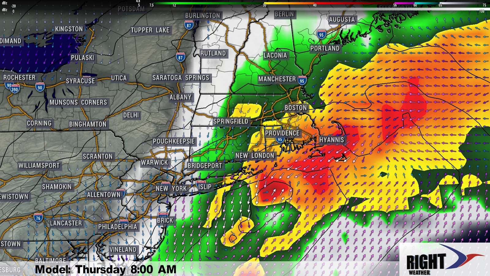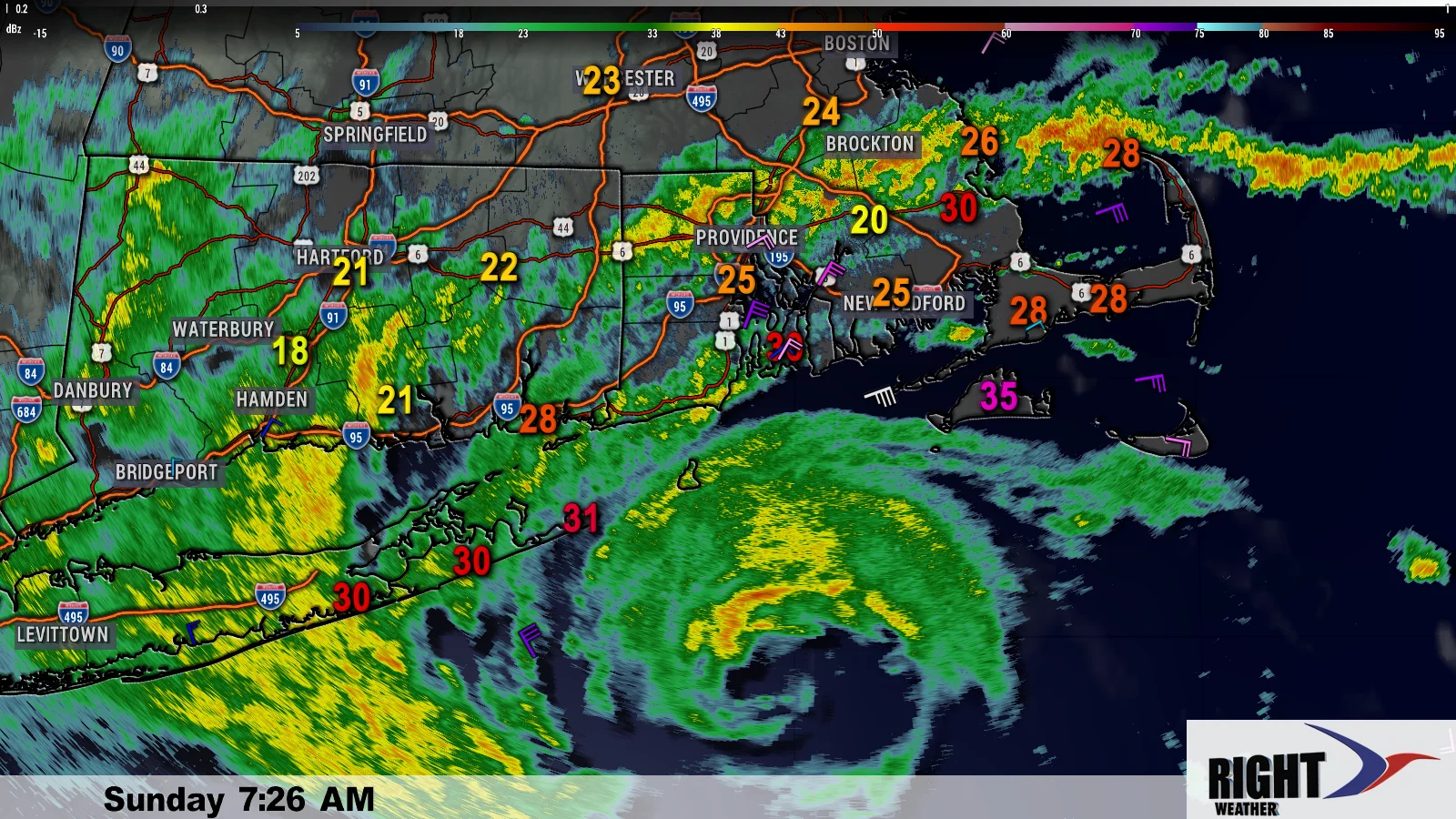
Large and dangerous Hurricane Sandy was about 340 miles south of Cape Hatteras on Saturday evening. With a minimum central pressure near 960 mb, and maximum sustained winds at 75 mph, Sandy was classified as a category 1 hurricane. The storm is expected to maintain its intensity over the next 36 hours as it moves NE over the warm waters of the Gulf Stream. 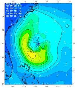
The storm will be transitioning from a purely tropical system to a hybrid post-tropical / extra-tropical system as it approaches the coast. The storm is forecast to intensify slightly before making landfall. The wind field from Hurricane Sandy is already enormous, and it is expected to get even bigger as the jet stream feeds energy into the storm and begins it’s transition to becoming post-tropical. According to the National Hurricane Center, at 5 pm Saturday, tropical storm force winds extended several hundred miles from the center of the storm.
HURRICANE FORCE WINDS EXTEND OUTWARD UP TO 105 MILES...165 KM...FROM
THE CENTER...AND TROPICAL STORM FORCE WINDS EXTEND OUTWARD UP TO 520
MILES...835 KM.  NOAA BUOY 41013...LOCATED ABOUT 35 MILES...
SOUTH-SOUTHEAST OF CAPE LOOKOUT NORTH CAROLINA RECENTLY REPORTED A
SUSTAINED WIND OF 47 MPH...76 KM/H...AND A WIND GUST OF 58 MPH...
94 KM/H.
One of the major threats from Hurricane Sandy is the potential for a major coastal flood event from the Mid-Atlantic to parts of New England. Although, the storm is only a category 1, it is carrying a lot more storm surge potential because of its sheer size and wind field. On one scale, it was rated as a 5.6 out of 6.0 for destructive storm surge / wave potential.
Southern New England Sandy impacts
Wind
Hurricane Sandy will have a significant impact in Southern New England. It is impossible to predict exactly where the trees will fall on power lines, and for how long the power will be out, but there should be widespread power outages based on the peak winds expected from the storm. In general, there may be fewer power outages inland due to the winds not being as strong, and most of the trees have already lost their foliage. Near the coast, there is a combination of some remaining foliage and higher wind gust potential. The wind pick up Sunday, but it will not begin to drastically increase to potentially damaging speeds until during the day Monday.
Check this page for the detailed Hurricane Sandy wind forecast timeline for Southern New England.
http://bit.ly/wind-gusts
Coastal flooding and beach erosion
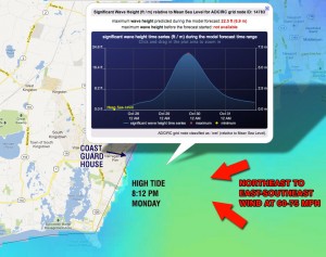
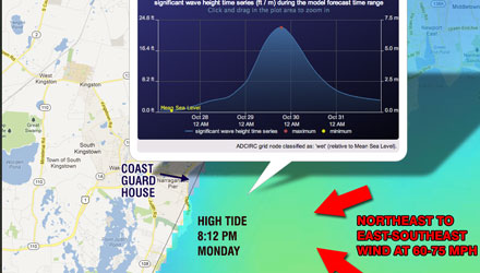
There is a moderate to major coastal flood threat in Southern New England from Hurricane Sandy. 40-50 ft. seas are expected to the east of the center of Sandy as it moves north. Because of the track to the southwest of Southern New England, those ridiculously high seas will head for our shoreline. While there likely won’t be 40 ft. waves crashing onshore, there is the potential for 20+ ft. waves on the coast of Rhode Island and Southeastern Massachusetts. This is the highest surf and seas forecast that I have seen for Southern New England in the past 15 years.
One well known, and vulnerable, local landmark, The Coast Guard House Restaurant, may not weather the storm. Based on the combination of the storm surge, combining with the peak winds, at the time of an astronomical high tide Monday evening, a major coastal flood event is predicted for Pt. Judith. The Coast Guard House Restaurant, at nearby Narragansett Pier is sitting right on the water and is in jeopardy of, at least, being partially destroyed during the height of the storm.
Most other Rhode Island shorelines will face a minimum of moderate flooding, which may be worse than it was during Irene last year. Look for a detailed coastal flood forecast on rightweather.net Sunday.
Rain
Sandy will not be a prolific rainmaker for Southern New England. A few showers are possible Sunday in advance of the system, and some heavier showers will move through Monday when the stronger rain bands arrive. Showers will continue into Halloween, but, at this point, it does not appear that there will be enough rain to lead to any street, stream, or river flooding in RI or SE MA. Some heavy rain is possible in the western part of Southern New England, but, even there, it doesn’t look like enough to cause river/stream flooding. Because tropical systems carry so much moisture on the western side and near the center, the exact track of the storm may change that part of the forecast in the next day or two.
