Hurricane Sandy went from steadily strengthening to rapidly intensifying Wednesday evening as it passed through the Caribbean Sea after hitting Jamaica and heading for Cuba. Two storm-related deaths have been reported, one each in Jamaica and Haiti. The central pressure was measured at 956 mb by a hurricane hunter aircraft late Wednesday evening. That, based on satellite estimates, was pushing Sandy to near Category 2. The short-term forecast for Sandy is to cross Cuba Thursday and hit the Bahamas by late in the day. It will take until midday Friday for Sandy to slowly move through the Bahamas. The storm is sure to do some damage in Nassau as it passes by. Tropical Storm warning are in effect for the southeast coast of Florida, and they may be upgraded to hurricane warnings if Sandy is a major hurricane or tracks a bit farther west than forecast through the Bahamas.
Hurricane Sandy and the East Coast

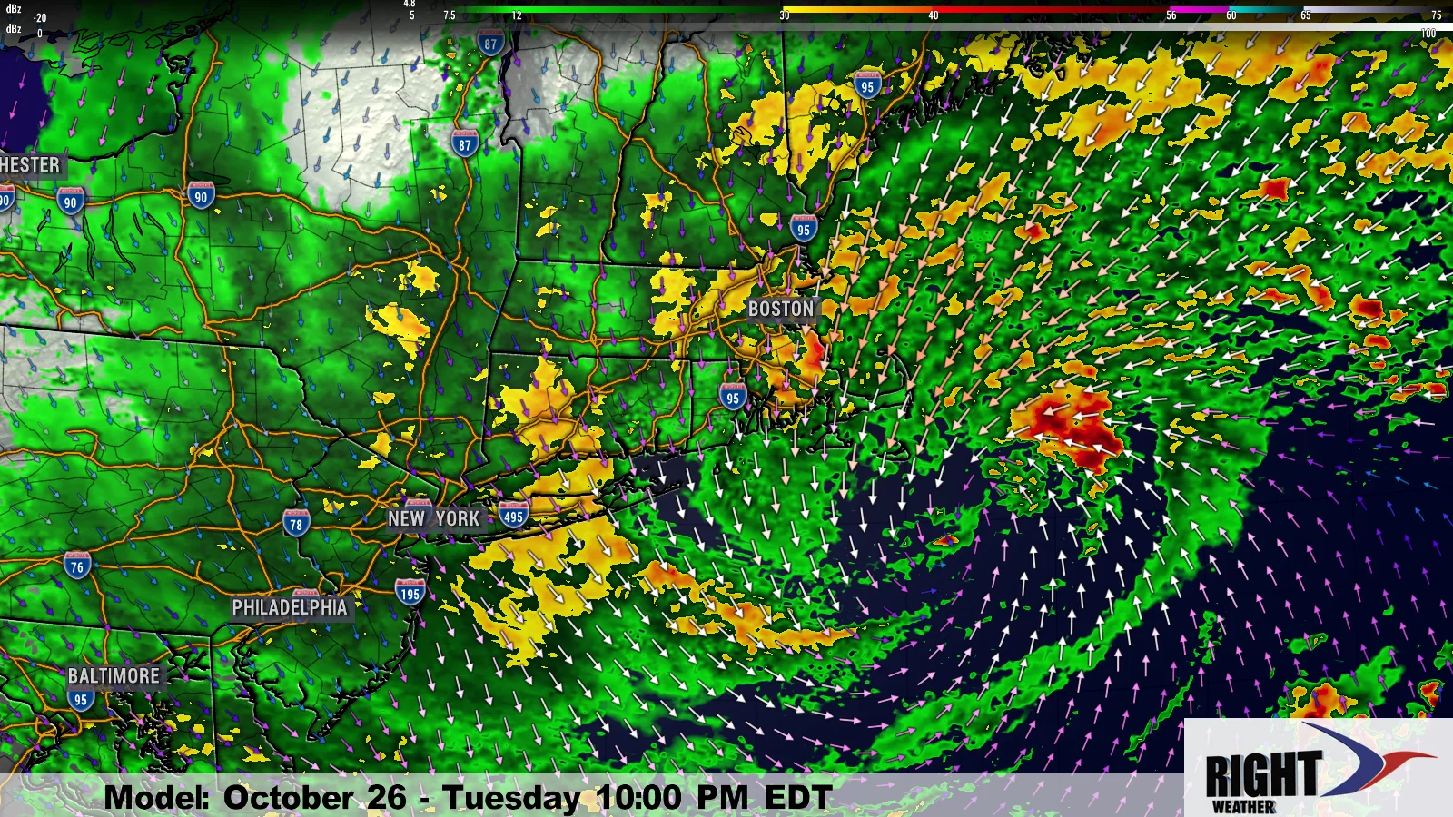
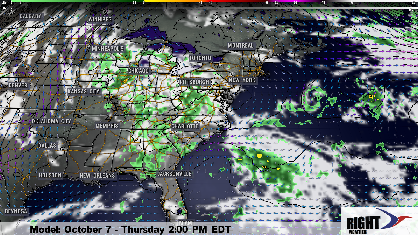
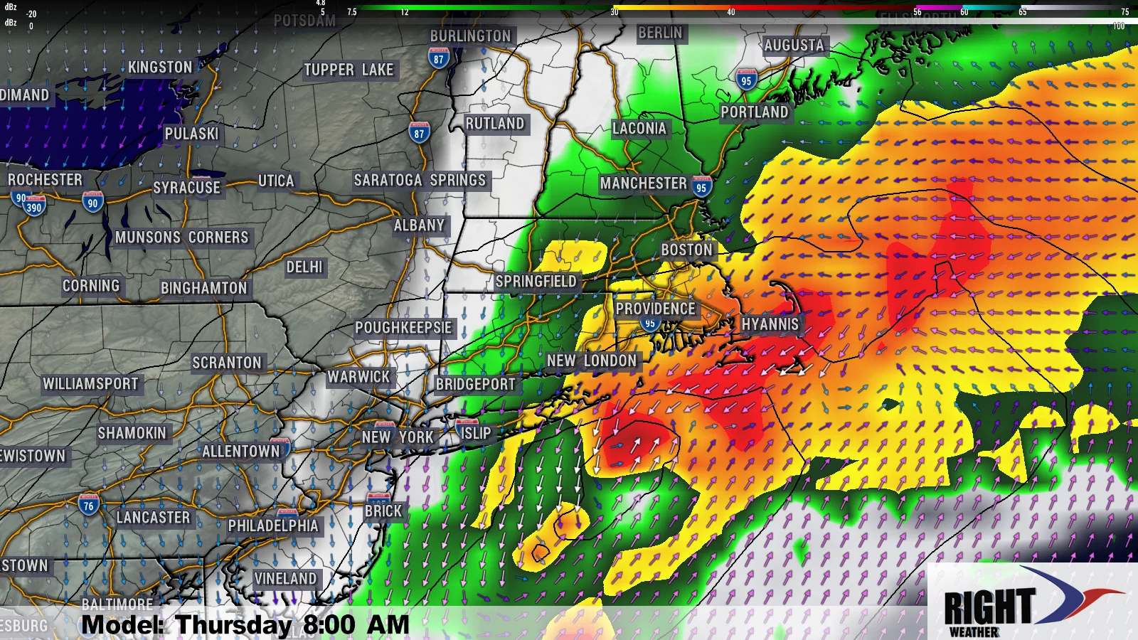
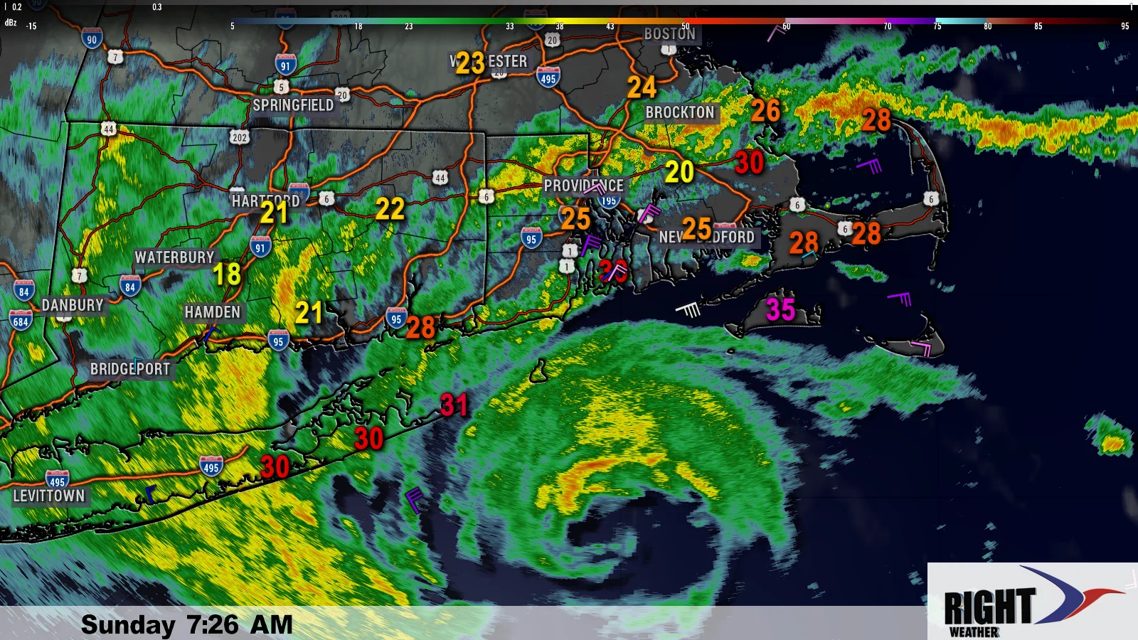
At this point, it is still rather uncertain what will happen with Sandy after moving north of the Bahamas. Most computer models have been sticking to their guns, with some bringing a hellish storm into the Mid-Atlantic or New England coast, while others allow the storm to move out to sea or into the Canadian Maritimes. As we’ve been saying all along, climatology strongly favors a storm coming from south of Cuba at this time of year moving out to sea, but this weather setup is so unique, that the computer models are having a difficult time dealing with it. So, even though the potential impact is 4-5 days away, all the options are still on the table from a direct hit to a storm that misses the East Coast completely. Earlier Wednesday, I said that a significant impact in the Northeast is likely, and I still think that is the case. Just keep in mind that the Northeast stretches from the Virginia/North Carolina border to Maine. A storm striking close to the Chesapeake Bay is going to have a much smaller impact in Southern New England than one that strikes Narragansett Bay.
As you can see from the graphic representing the earliest computer model runs from the 00Z data for October 25, there are several tracks into the Canadian Maritimes. That is a trend that will need to be monitored. There are also tracks into Atlantic City, NJ, and notice the strong cluster of tracks south of Nantucket. Extrapolating those tracks out another day or two would put the area from NYC to Maine in jeopardy of a direct hit.
I still expect a storm that is no longer purely tropical, but still strong enough to do widespread damage, to impact the Northeast between Sunday and Tuesday, with Monday being the most likely time of bad weather in Southern New England. Unfortunately, right now, it’s impossible to give specific forecasts for wind direction, wind speed, rain totals, and coastal flooding because nobody knows exactly where the storm will strike. We’ll continue to give analysis of the different computer models and scenarios, and try to focus in on a solid track by midday Friday as the storm is leaving the Bahamas. Until then, there is no reason to run out for bread and milk, but keep a close eye on the forecast, and try to carve out some time this weekend for preparations, just in case they are necessary.
Southern New England Forecast
I’ve been able to spend so much time focused on Sandy because the Southern New England weather is very quiet. Thursday through Saturday should be partly to mostly cloudy with a gradual warming trend. Highs will be in the low 60s Thursday, and in the mid 60s by Saturday. The first showers from Sandy or the front that will steer the storm are possible on Sunday. After that, the forecast gets awfully tricky.


