Tropical Depression 18 formed Monday morning in the southern Caribbean Sea. The storm is forecast to become Tropical Storm Sandy later Monday, and it will move to the north bringing gusty wind and heavy rain to Jamaica and eastern Cuba in the next three days.

Forecast for Tropical Storm Sandy
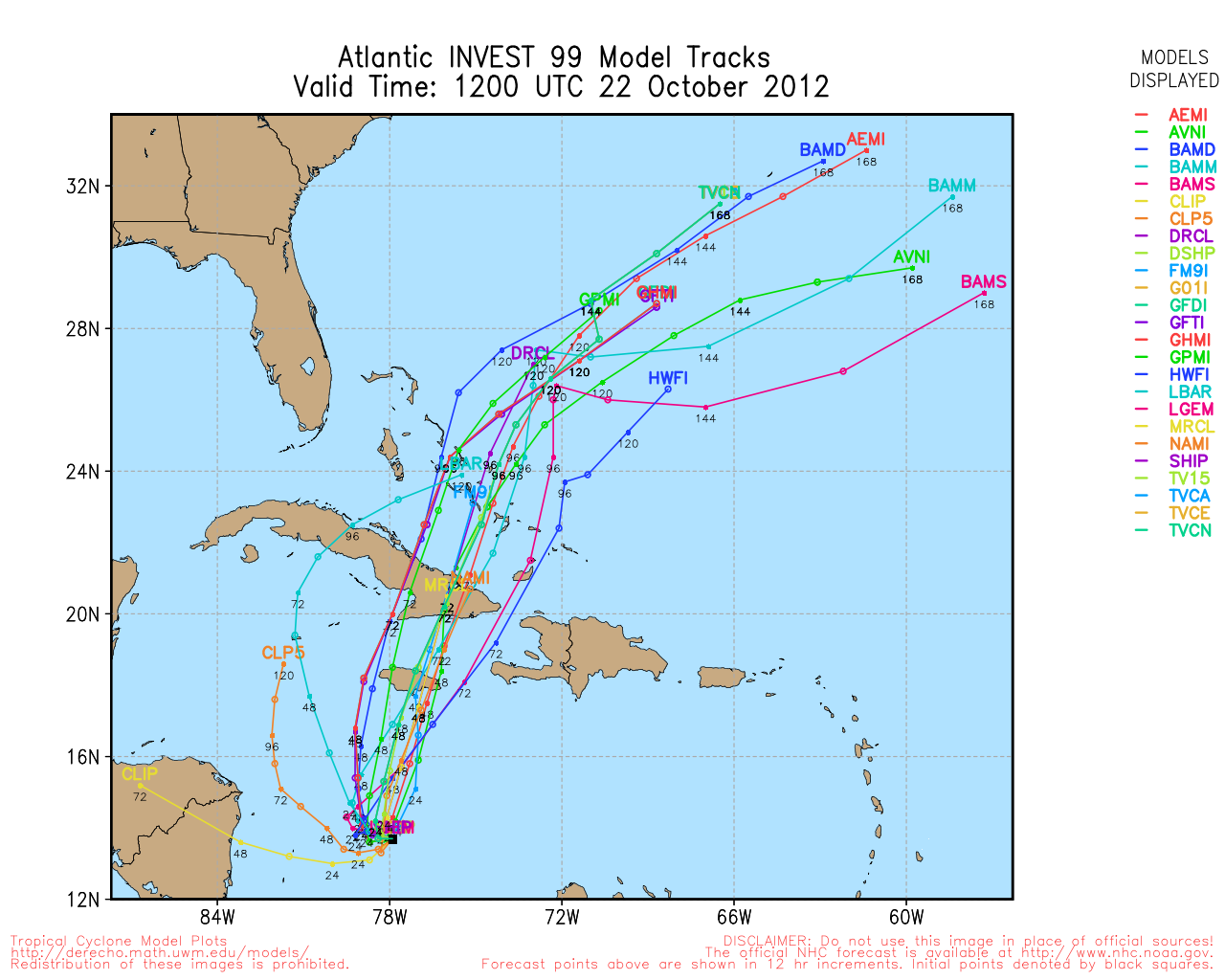
The forecast from the National Hurricane Center has Sandy crossing Cuba and entering the Bahamas as a strong tropical storm late in the workweek. The NHC also believes that the storm will start to lose its tropical characteristics during this weekend as it interacts with an upper-level low pressure system. That doesn’t mean the storm will weaken, but it may be reclassified as a sub-tropical storm.

In any event, there will likely be a large storm off the Southeast United States coast by Saturday afternoon. The big question is where does it go from there? The majority of the computer models take it out to sea, but the weather setup is such that it is still possible it gets drawn farther northwest and has a significant impact along the Eastern Seaboard as a large and intense sub-tropical storm that evolves into a Nor’easter.
Oct, Nov trop. sys. tracks since 1842 from where TD18 (Sandy) is. Hitting E Coast as a trop. sys. would be a first. pic.twitter.com/TCHViEDw
— Fred Campagna (@FredCampagna) October 22, 2012
You can track the storm using the Interactive Hurricane Tracker at rightweather.net.


