The Nor’easter which surprised many in Southern New England with a heavy, wet accumulating snow will continue to impact the weather in Rhode Island, Massachusetts, and Connecticut on Thursday. The threat of snow will be gone, but the wind will stay active, and it will be very cool for early-November.
School & Business Closings / Delays
Prepare for some slick spots on any untreated roads in inland areas early Thursday morning. The temperature will be close to freezing and some rain or freezing rain is possible for the morning commute. The wind will be out of the north-northwest at 25-50 mph early Thursday. We will continue to see some showers, and the wind will stay between 20-45 mph, with a some higher gusts in E MA, throughout the day. The temperature will struggle to reach 40 degrees in Rhode Island, and will only reach the low 40s in interior SE MA. It will be in the mid 40s to low 50s on the Cape and Islands.
Improvement Friday into the weekend
The storm will finally drift away from Southern New England tomorrow night. The wind should relax to 10-20 mph by dawn Friday, with clearing skies and temperatures falling into the upper 20s to low 30s. By comparison, Friday looks decent. We’ll see partly sunny skies with highs in the upper 40s to low 50s.
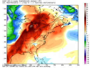
The weekend should be milder, with a blend of clouds and sun both Saturday and Sunday. Highs should reach the low to mid 50s on Saturday, and it will be in the upper 50s to low 60s on Sunday – great weather for the Pell Bridge Run in the morning, and the Pats-Bills in the afternoon. It will stay very mild early next week.


