
Assuming the world doesn’t end Friday, you can expect some wet ‘n’ wild weather to start the winter season in Southern New England. Winter officially arrives at 6:12 am, and it will be accompanied by strong winds, some heavy downpours, and unseasonably mild temperatures. The wild weather comes courtesy of a storm system that brought blizzard conditions to the Plains, and severe weather to the south, where a tornado hit Alabama leaving tens of thousands without power.
PHOTO: Cars thrown like toys by a tornado in Mobile, Ala.: http://t.co/rt9lHFUb – @Brandon_Copic
— NewsBreaker (@NewsBreaker) December 20, 2012
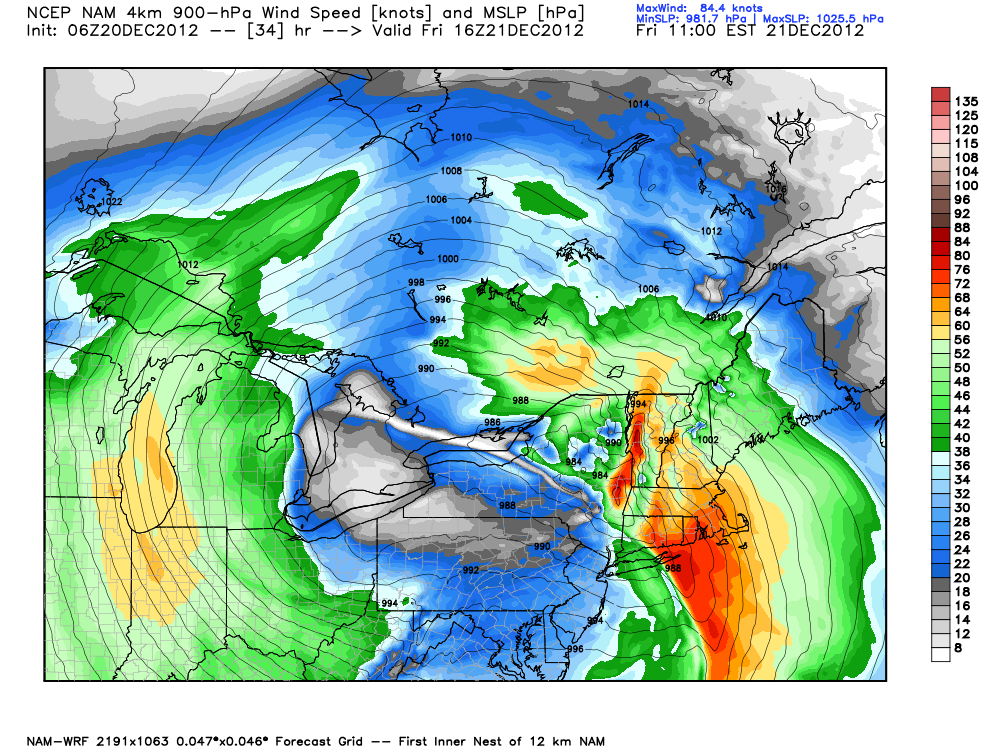
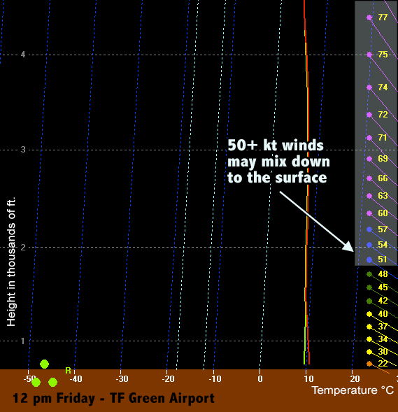
The wind will gradually increase out of the south-southeast by late Thursday night to 20-35 mph by dawn Friday. Some rain showers may form in advance of the heavier downpours by dawn. The worst weather in Southern New England is likely to occur between 8am-2pm as the strong cold front moves through. Heavy downpours are likely in CT, RI and interior MA. SE MA may be spared the heaviest rain, but some rain is expected. Even though it’s winter, the dynamics of the system suggest some potential for thunderstorms to form. If they develop, then the strong, damaging wind threat increases as strong winds not far off the surface may be brought down in heavier downpours.
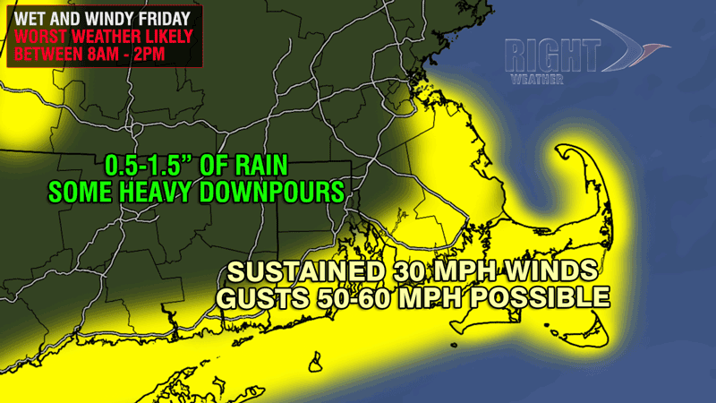
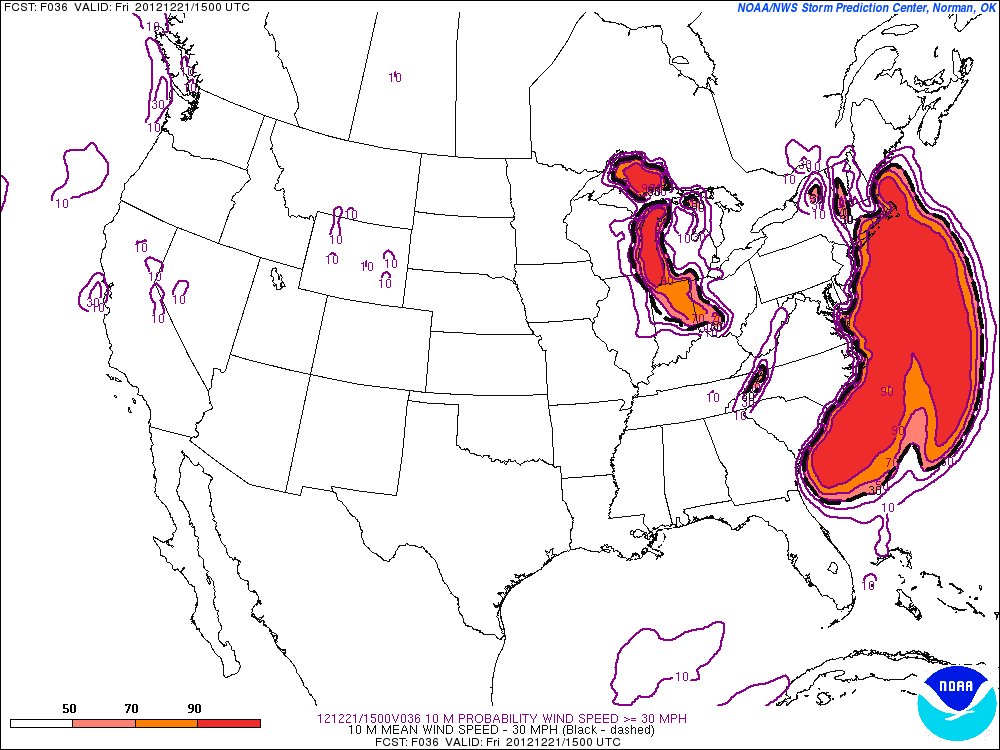
The peak winds should occur near the coast, with sustained winds of 30-40 mph, and some 50+ mph gusts are possible. Farther inland, winds are likely to be between 20-40 mph. The wind may be strong enough near the coast to cause some downed branches and power lines.
The heavy shower threat ends during the afternoon, and the wind will shift from the southeast to the southwest after the front passes. Friday night looks breezy and colder, with the temperature falling into the 30s.

Colder weekend, chance of some rain/snow near Christmas
A few snow showers or flurries are possible on Saturday while the disturbance slowly moves over New England. There will not be any accumulation, and highs will be in the mid to upper 30s with a brisk westerly breeze. Sunday looks partly cloudy with a high in the mid to upper 30s. Monday looks fairly quiet, too, but a fast-moving system may bring some precipitation sometime between Christmas Eve and Christmas afternoon. It’s too early to say if the storm track will be so close that Southern New England gets rain, or so far offshore that Southern New England gets nothing, or somewhere in the middle where most of the area picks up a light snow accumulation. At this point, it does not look like the kind of weather system that would wreak havoc on the roads causing issues with anyone visiting family or friends for the holiday. There is some potential for a bigger storm later in the week, possibly Thursday. Once again, it’s way too early to tell how intense it will be and what track it will take.


