
The dry, cool weather will continue into this weekend. Friday night will be mainly clear with a light breeze and lows in the low to mid 20s by early Saturday morning. Southern New England will bask in wall to wall sunshine for a good chunk of Saturday, with the temperature climbing into the mid to upper 30s – a very typical early-January day.
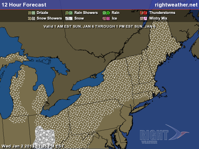
A weak disturbance brings the potential for some light snow or flurries late Saturday night into Sunday morning. The sky will gradually become cloudy Saturday night, and some flakes are possible after midnight. The temperature will fall into the mid 20s. Some light snow or flurries will hang around Sunday morning, before yielding mostly cloudy skies Sunday afternoon. Highs will be in the mid to upper 30s. A dusting to an inch of light, fluffy snow is possible Sunday morning before the disturbance passes.
One last surge of cold air (for now) will move into New England Sunday night into Monday. Lows will be in the low 20s Monday morning, and highs will be in the low 30s on Monday afternoon. There will be few clouds as high pressure crests overhead.
Once that high pressure center gets south of Southern New England, some milder air will begin wrap around it. This will be most noticeable by the middle of next week, with temperatures in the 40s Wednesday and Thursday. A storm system moving from the Midwest to the Great Lakes should bring rain sometime between late-Wednesday and Friday of next week. Right now, it looks like it will be closer to Friday. The overall pattern looks mild through mid-January, with a return to colder weather late in the month.
Cover photo by 02809photo.com


