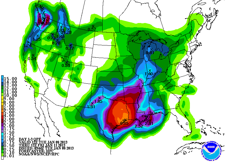
Some wild weather is likely in the United States during the next couple of weeks. While the Northeast is experiencing a quiet January thaw early this week, a slow-moving storm is drenching the South Central U.S.. Several inches of rain are likely in the next three days near Houston, TX. Some rain is a welcome sight in those areas, but it may be too much, too soon for areas impacted by a drought. Some flash flooding is likely.
The storm will eventually move north through the Midwest as the leading edge of near-record warmth that will spread from the Midwest to the East Coast. At the same time, Arctic air will be plunging into the Rockies, and snow is likely from Utah to Minnesota by late in the week.
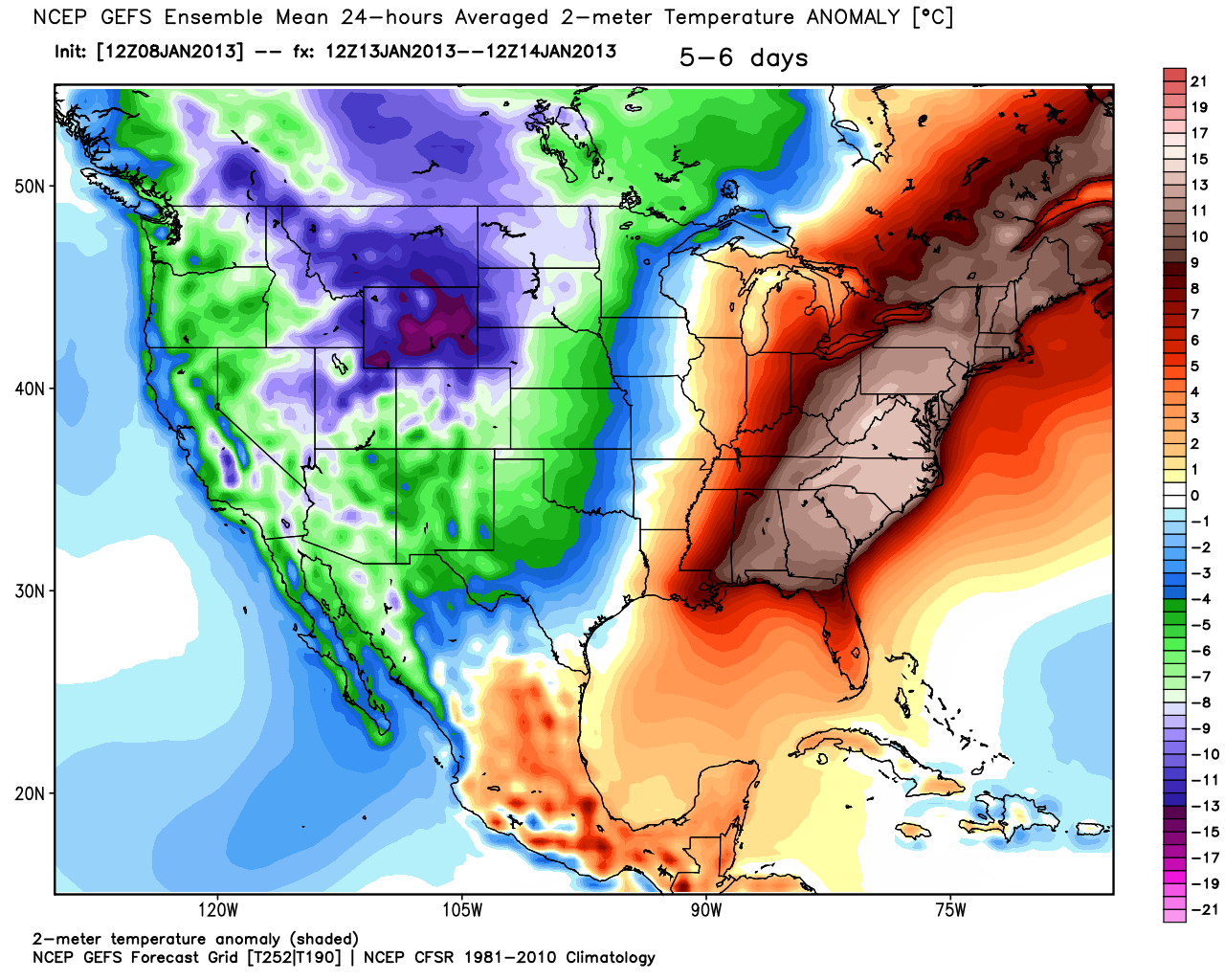
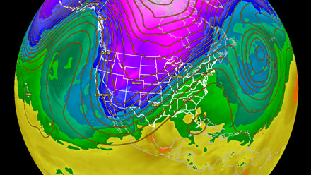
By this weekend, the Rockies and part of the Western United States will be experiencing temperatures that are more than 25° F colder than normal, while in the East the temperature soars to 25°+ F warmer than normal. Record cold and record high temperatures could be set on either side of the country. The temperature during Saturday evening’s NFL game in Denver may be in the low teens, while the temperature for Sunday evening’s Patriots-Texans game in Foxboro may be in the low 50s.


