The forecast for the next 7-10 days is great, unless you rely on or love winter weather. On the positive side, we’ll all save a little money on heating our homes during the climatologically coldest part of the year. Normal highs for the next two weeks are in the mid 30s, and normal lows are in the low 20s. In the next 7-10 days, I expect the average high temperature to be in the mid 40s, and the average low in the upper 20s. It will be more than mild enough to wipe out the 2-3° colder than normal start to January through the first six days.
It will also be dry most of the time this week, with some cool rain likely on Friday. It may start as some sleet/snow in interior Southern New England before changing to rain. The warmest weather of this stretch is probably going to occur sometime between Saturday and Tuesday of next week. If the wind swings around to the west-southwest, and the weak January sun can burn through some low clouds, then temperatures will jump into the 50s. It’s safe to say, the snowpack will be gone in the next week.
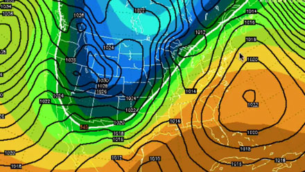
While it is warm in the East, it will be very cold in the West. Over time, that cold air will slowly move east through the Great Lakes into the Northeast. As it is trudging east, a storm may develop near the Gulf of Mexico and head northeast in the early to middle part of next week. At this point, it’s too early to talk specifics, but that could bring some wet/wintry weather to New England. After that storm passes, it looks like the cold weather will move in to the Northeast and stay through the end of the month.


