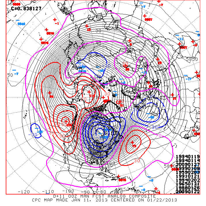
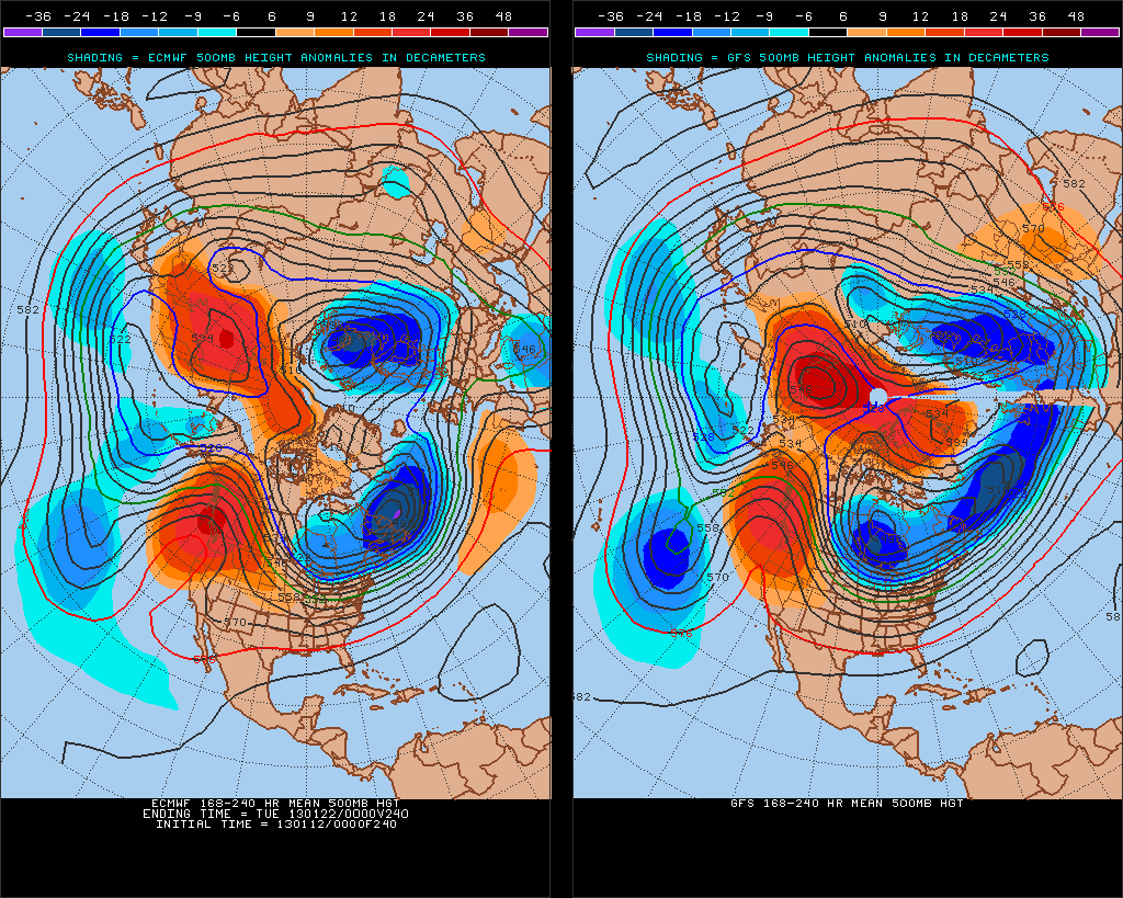
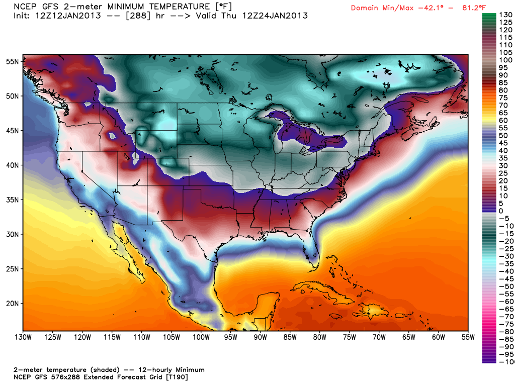
I can’t stress enough how likely it is that the weather will be turning colder in the next few weeks. It’s not a case where the weather will be going from the ridiculously mild to something that approximates winter either. It is quite possible that the Upper Midwest to the Northeast go from one extreme to the other. Unless the models are out to lunch, there will be a stretch of colder than normal weather from late January through early to mid February in New England.
While I feel strongly about a cold snap in the Upper Midwest to the Northeast, there are still a lot of uncertainties including:
- The timing of the coldest weather. Earlier this week it looked like there would be a 1-2 punch with the first cold shot on Friday-Saturday, followed by the motherlode in the middle of the following week. Already, the models have backed off the Friday-Saturday cold shot a bit, but still bring some big time cold the following week.
- It is impossible to say if the coldest weather will be in the Upper Midwest, Great Lakes, or New England. It’s fair to say that all three areas will get some very cold weather. Those hit the hardest may get near-record cold.
- It is unclear when it will snow and how much will fall in Southern New England. I could go run to run with the 7-14 day forecasts from the GFS and ECMWF, but they are varying greatly and until I see some consistency, I’ll spare you the roller-coaster ride. I think it’s fair to say that there will be more snow in the last half of January than the first half. I’ve seen some models that bring the total back to normal by the end of the month. Considering that there hasn’t been much snow at all so far, that gives you an idea of the potential of this weather pattern.