February has been cool and stormy, and it looks like those trends will continue into early-March. In fact, the weather pattern looks even more favorable for chilly weather in the Northeast, with the chance of coastal storms in the long range. The normal high temperature is climbing into the mid 40s, and, for the most part, it should be colder than that in the next 7-10 days.
Two weeks from today the sunset in Providence is at 6:47 pm. #brightthoughts
— Right Weather (@RightWeather) February 24, 2013
A stubborn disturbance hanging back from a departing storm brought locally heavy snow to parts of Maine, New Hampshire, and Northern Massachusetts into early-Sunday afternoon. That disturbance will spin through Southeastern New England through late Sunday night bringing occasional snow and colder temperatures. Only minor accumulations are expected, but the combination of sub-freezing temperatures and a bit of snow may lead to some icy spots on the roads Sunday night.
Some sunshine Monday and Tuesday
It will be a quiet and seasonable start to the workweek, with some sunshine and highs near 40 both Monday and Tuesday. Monday night looks chilly, with lows in the low to mid 20s under mainly clear skies. A storm system is in the forecast for the midweek. Snow, rain or mixed precipitation will break out late Tuesday night. The best chance of seeing a few hours of wintry weather is northwest of Providence early Wednesday morning. Wednesday looks wet and raw, with occasional rain and highs in the upper 30s to low 40s.
It may get briefly mild Thursday with temperatures climbing through the 40s on a southerly breeze. A few showers can’t be ruled out, and the mild weather will not last long as the wind shifts to the north Thursday night. We’ll have to watch the late-week forecast for very closely. There is the potential for a storm to develop Friday and bring some wintry weather into the weekend.
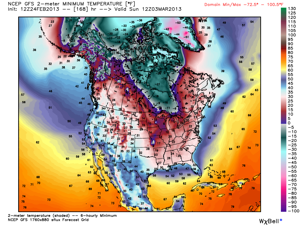
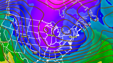
Right now, it is unclear how well the storm will come together and if it will be close enough to bring significant precipitation or just some showers. In general, a cool weather pattern is likely to persist through the first weekend of March, with temperatures at or below normal into the following week. A big dip in the jet stream will have chilly weather plunging all the way into the deep South with temperatures in the 30s all the way down to Florida next weekend.


