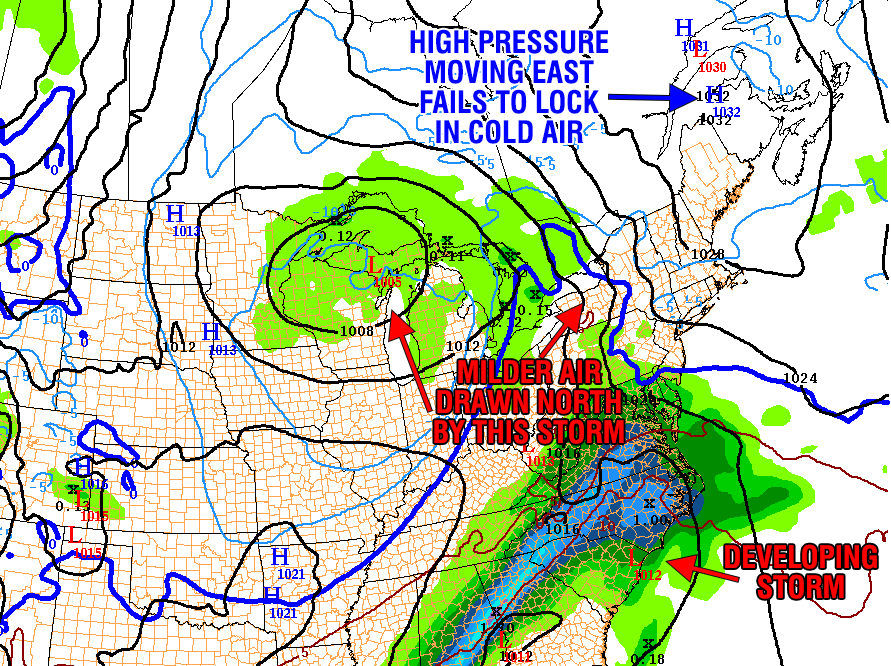
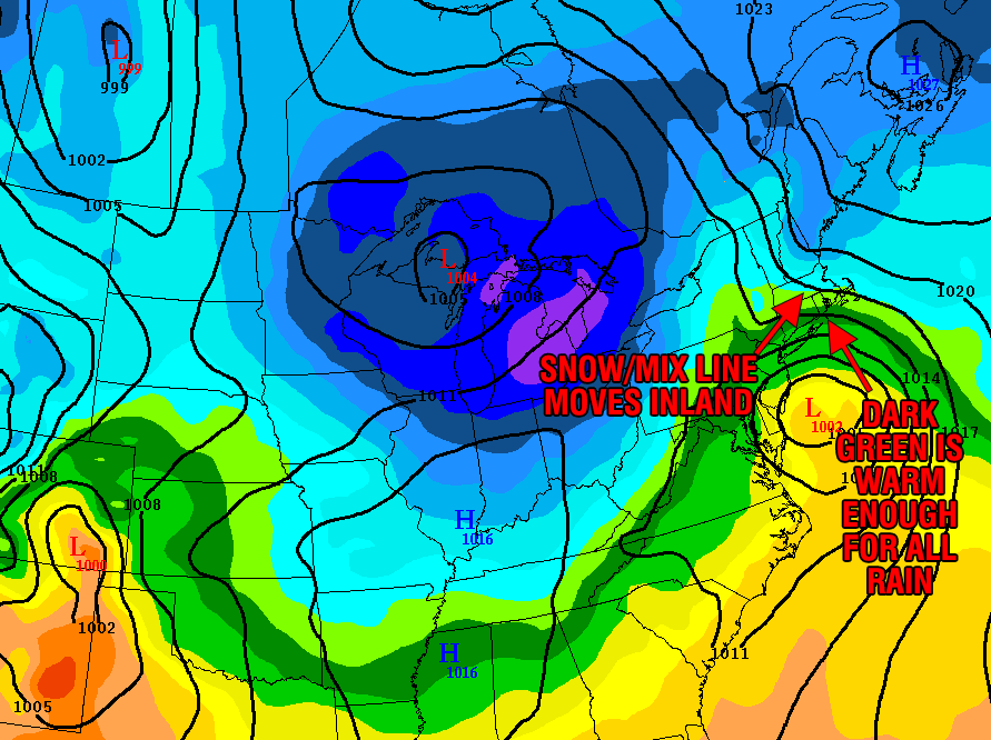
What increases snow odds?
While the forecast is favoring rain near the coast, it is still a very close call. There are a couple of factors that could still lead to an appreciable snowfall from near the coast to Providence. First, if the storm tracks a little farther south than forecast the wind will be out of the northeast instead of the east. That helps to lock in the colder air. Second, as the storm intensifies, if it stays far enough south, then the storm could end with several hours of snow as it slowly moves east late Saturday night and Sunday morning. This change from rain or a mix to heavy accumulating snow does not happen very often in the Providence area. Usually, the bulk of the precipitation moves north of RI and SE MA, then it shuts off as the colder air wraps in behind the storm. That’s not to say it won’t happen differently this time. It all depends on how far north the low pressure center gets before moving east.


