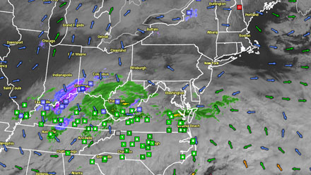
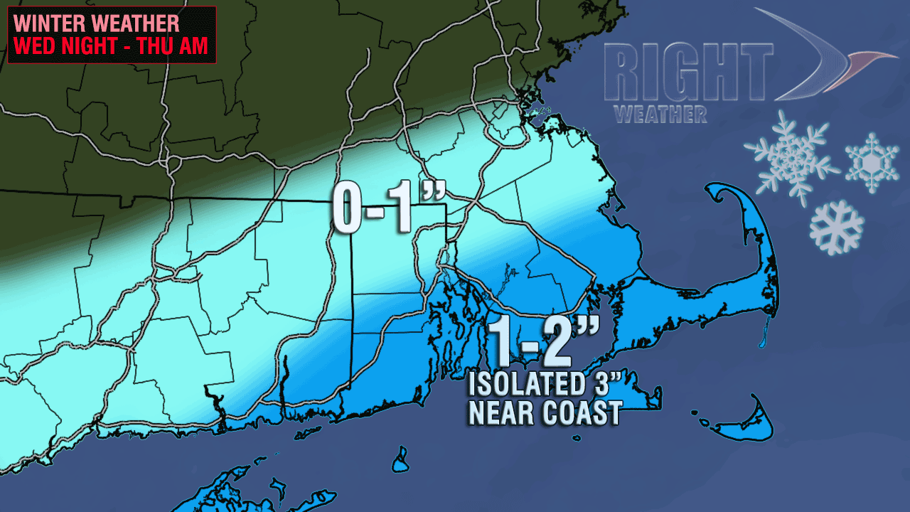
A fast-moving system will skim by Southern New England Wednesday night bringing some light snow, with the best chance of a minor accumulation near the coast. Clouds will thicken up this evening, and some light snow should break out by midnight. The snow will be steadiest near the coast until about dawn Thursday. Temperatures will be in the mid to upper 20s. Even a dusting is enough to make for some slick spots given all the snow/ice that is still on the ground. The best chance of 2-3″ is within 10 miles of the coast.
The storm will be out of the picture by early Thursday morning, and there will likely be little to no impact on the Thursday morning commute. It will become partly to mostly sunny in the afternoon with highs in the upper 30s to low 40s. The weather looks great for a Valentine’s Day date Thursday evening. The temperature will settle back below freezing by late in the evening, so watch out for some black ice on the roads and sidewalks.
Friday should be a fine day, with highs in the mid to upper 40s under partly to mostly sunny skies. The high temperature will be in the mid to upper 40s. There are still some questions about the evolution of a storm this weekend. Right now, it looks like nothing more than some snow and/or rain showers on Saturday, followed by dry, blustery, and colder weather on Sunday. The high temperature on Sunday will struggle to get out of the 20s. We’ll be watching the situation closely to see if a potent storm develops close enough to the coast to bring steadier snow Saturday night into Sunday.
The weather will be chilly and dry on Monday, then turn milder on Tuesday with the chance of mixed precipitation to rain late in the day.


