Long Range ForecastRight Weather ProVideos
Long Range Forecast – February 18

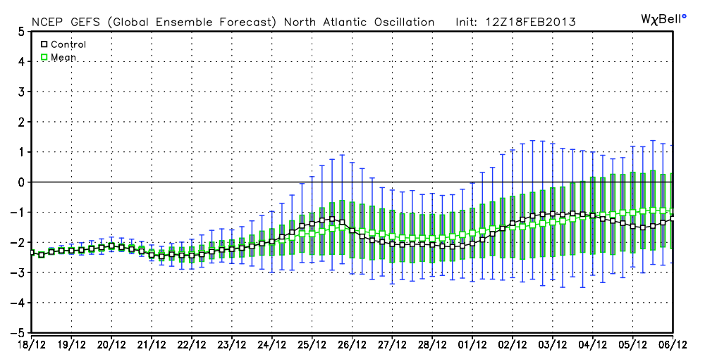
This February has been one to remember in Southern New England. Two feet or more of snow in most places and colder than normal weather has the January thaw as a very distant memory. It looks like we may be spared the single digit Arctic blasts in the next two weeks, but the stormy pattern will most likely continue into early-March.
- Briefly milder Tuesday before colder air returns Wed-Thu
- Watching for the potential of a storm over the weekend. Where it develops will be critical, as some models take it too far south for impact in SNE, others bring it so far north that it rains from the coast to I-95. There is, however, the potential for a third straight weekend snowstorm.
- If that storm misses, there should be one or two more chances at some stormy weather next week. The pattern is very favorable for active weather in the Eastern United States
- The temperature may average close to normal, but a big part of that will be relatively mild overnight lows. Daytime high temperatures will be below normal for most of the rest of the month


