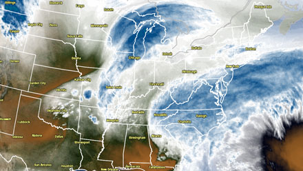
Blizzard Warnings are in effect for Southern New England. A large, powerful, and potentially paralyzing Nor’easter is imminent. The storm will arrive Friday and intensify Friday night. It will stall briefly near Nantucket, with strong wind and heavy snow bands continuing into midday Saturday. The potential exists for hurricane force wind gusts near the coast, with the highest likelihood of 70+ mph winds on Cape Cod and the islands. Snowfall rates may reach 2-3″ per hour in some of the heaviest bands. Check out the video below for more analysis from Right Weather Meteorologist Fred Campagna.
- Storm Timeline and Accumulation Map
- TV station snow forecast roundup
- Top 10 Southern New England snow storms
- National Weather Service issues Blizzard Warning
- Computer Model Trends and analysis by Fred Campagna
- Coastal flooding threat interactive map
- Winter storm preparedness tips
- Pro Update: Snow odds for Providence area
The snow storm that is bearing down on Southern New England may not be the biggest on record, but it has strong potential to be in a select group near the top of the list. Of course, the Blizzard of 1978 is widely regarded as the biggest Southern New England snow storm of the past 100 years, and it paralyzed the region for days when it dumped a widespread two to three feet of snow. The second storm on the list for Providence was not that long ago. The January 2005 Blizzard produced nearly two feet of snow, with hurricane force winds and drifts that were several feet high. Third on the Providence list of top 10 all-time snow storms was in January of 1996, with nearly two feet in Providence. After that, there is not a single storm that has dropped more than 20 inches on Providence since 1905.


