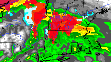
Clouds will increase Tuesday afternoon in advance of a weather system that has produced a blizzard in the Midwest and severe weather in the Southeast. The storm may begin with some wintry precipitation in Southeastern New England, but, for the most part, it will be a rainmaker.
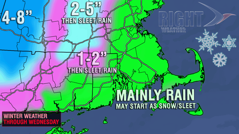
Snow, sleet, or rain will develop around midnight and quickly become steady. The best chance of seeing a few hours of snow and/or sleet is away from the coast in NW RI and Worcester County. Elsewhere, the change to rain should occur before any snow accumulation. The wind will increase to 20-35 mph near the coast by late Tuesday night.
It is likely to be a very soggy Wednesday morning commute. You can expect wind-driven rain with temperatures in the mid 30s inland, and near 40 at the coast. The heaviest rain will move through by midday Wednesday. Winds may gust to over 40 mph near the coast from Wednesday morning through early Wednesday afternoon. The afternoon looks damp and dreary, with lighter showers, drizzle and fog. Temperatures will be in the upper 30s to low 40s.
Most of Southeastern New England should pick up at least 0.75″ of rain, and there is the potential for some areas to see about 1.5″. That’s not enough for widespread flooding, but some big puddles can be expected during the morning, especially if there are any remaining ice-clogged storm drains.
Patchy, dense fog is possible Wednesday night with temperatures holding in the upper 30s to low 40s.


