A storm responsible for accumulating snow in the Mid-Atlantic will scoot out to sea south of Southern New England Monday night. Clouds will thicken on Monday, with the chance of scattered rain/snow showers in the afternoon. The breeze will increase to 15-35 mph by late in the day. The strongest winds and best chance of showers will be near the coast – particularly on Block Island. The temperature will likely be above freezing, so the snow is not likely to stick until after sunset. The best chance of a minor accumulation near the coast and on the islands is from 8pm -2am. Block Island, Martha’s Vineyard, and Nantucket may pick up 1-3″. In the rest of Southern New England, a coating to 2″ is possible at the coast of RI, MA, and CT. There should be an inch or less in the Providence area.

Storm impacts
- Coast/Islands – best chance of a few hours of light to moderate snow Monday night. Minor accumulation. Temperatures above freezing. Gusty wind – 25-40 mph.
- Providence metro area – Light snow possible Monday night. Little to no accumulation. Breezy – 15-35 mph.
- Inland – Chance of flurries Monday night. No accumulation. Breezy – 15-30 mph
The storm will move away from Southern New England quickly on Tuesday. Look for a blend of clouds and sun with highs in the low to mid 40s. There will be a northwesterly breeze between 10-20 mph. Wednesday looks fairly quiet with morning sunshine followed by afternoon clouds. The high will be in the mid to upper 40s – still cool for late-March. A disturbance will move through Southern New England on Thursday. Scattered rain/snow showers are possible. Highs will be in the 40s again on Thursday.
At this point, the weather looks decent for the final weekend of March. There will not be a big warm-up on Friday, with the temperature in the mid to upper 40s. A brief, passing shower is possible Friday afternoon. Another weak disturbance may bring a few showers on Saturday. Once again, it does not look like a washout. The outlook for Easter Sunday is not bad. We’re expecting partly sunny skies with highs in the low to mid 50s. The long range outlook has the weather taking a turn for the worse in early-April – no fooling!
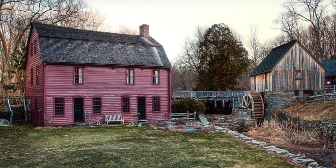
Cover photo of Gilbert Stuart Birthplace in Saunderstown, RI by 02809photo.com


