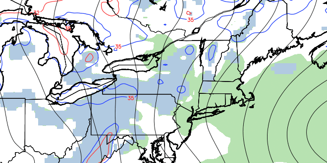
It was great to see the temperature climb into the mid 50s in some spots on Wednesday afternoon. The high temperature at TF Green was 56° – the warmest it has been since January 31, 2013. Clouds developed Wednesday afternoon, and there were a few pop-up showers in E CT and W RI. Most of the raindrops falling from the clouds dried up before reaching the surface. Clouds will increase after midnight into early Thursday morning, and there may be some light rain/snow showers by dawn. Temperatures will fall into the low to mid 30s.

Thursday should be mostly cloudy, with scattered rain/snow showers in the morning, and the chance of isolated rain showers in the afternoon. It does not look like a washout. It will be a bit cooler, with highs in the mid to upper 40s. Another weak disturbance will approach on Friday, and that will lead to some afternoon clouds and the outside chance of a spotty rain shower. The high on Friday afternoon will be around 50.
Most of the final two days of March are looking decent, with milder weather likely on Easter Sunday. However, there may be some rain before the weekend ends. Saturday is shaping up to be partly sunny with highs in the upper 40s to low 50s. The weather will be nice on Easter morning, with mainly clear skies and temperatures in the low to mid 30s at dawn. Clouds will increase during the day, and some rain is possible by late in the afternoon as a fast-moving system moves in from the west. Before any rain arrives, the high temperature should be in the low to mid 50s – a few degree warmer than normal, and a rarity in the past few weeks!
More showers are possible Monday or Monday night, followed by windy, cooler, and drier weather in the middle of next week.


