Saturday was similar to most of the dry days in March 2013 – cool, partly cloudy, with a gusty northwesterly wind. The wind will be between 5-15 mph by late Saturday night as the temperature drops into the mid to upper 20s under partly cloudy to mainly clear. The whistling wind which gusted to 40 mph on Saturday will not be as strong on Sunday. There should be plenty of sunshine, and the high temperature will be a few degrees milder than Saturday was. Highs on Sunday will be in the mid to upper 30s with mostly sunny skies and highs in the mid to upper 40s – still a bit cool for late-March. The sunset on Sunday will be at 7:03 pm.
Close call with an early-week storm
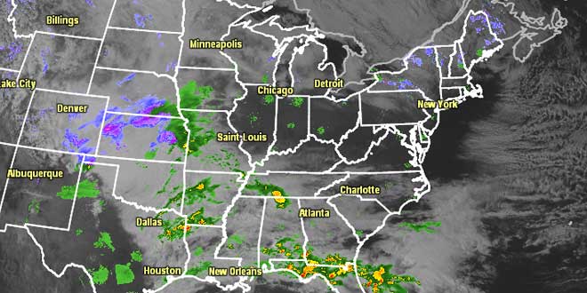
We’re keeping a close eye on a storm that will bring wet and wintry weather to the Ohio Valley, Southeast, and Mid-Atlantic Sunday into Monday. Right now, it looks like the bulk of the storm will stay just south of Southern New England. Monday will be mostly cloudy, breezy, and cool. There may be a few rain/snow showers during the day. Highs will be in the low 40s. The best chance of snow is near the coast Monday night. The exact track of the storm will be critical because there will be a very sharp cutoff between steady snow and just a few flurries. For now, we are not issuing a traditional accumulation map because it appears the bulk of the snow will stay off the coast. If the storm track nudges a bit farther north based on the Saturday night computer model guidance, we will post an accumulation map on Sunday morning.

Any snow that does make into Southern New England should depart by early Tuesday and will be followed by (what else?) breezy and cool weather. Highs will be in the low to mid 40s on Tuesday. The weather for the middle of next week should be decent. There will not be a huge warm-up, but the temperature may get close to normal for a few days, something that hasn’t happened since March 13, by Thursday. A weather system may move into the Northeast next weekend, with the chance of showers Saturday afternoon into Easter Sunday morning. It does not look like it will be a particularly warm Easter Sunday – the high may not reach 50.


