
Cold high pressure over New England should be strong enough to keep it cold enough for a burst of snow Monday night as a storm moves from the Mid-Atlantic to Southern New England. The National Weather Service has issued either a Winter Storm Warning or Winter Weather Advisory for most of Southern New England. The snow will change to rain relatively quickly near the coast – especially in Southeastern Massachusetts. Most of Southern New England, however, will see some accumulation before the snow changes to sleet or rain. The nocturnal timing of the heaviest snow is favorable for accumulation. Untreated roads may become snow-covered and slippery by midnight as the snow gets steadier.
- Updated snow accumulation map
- TV station snow forecast roundup
- National Weather Service Warnings/Advisories
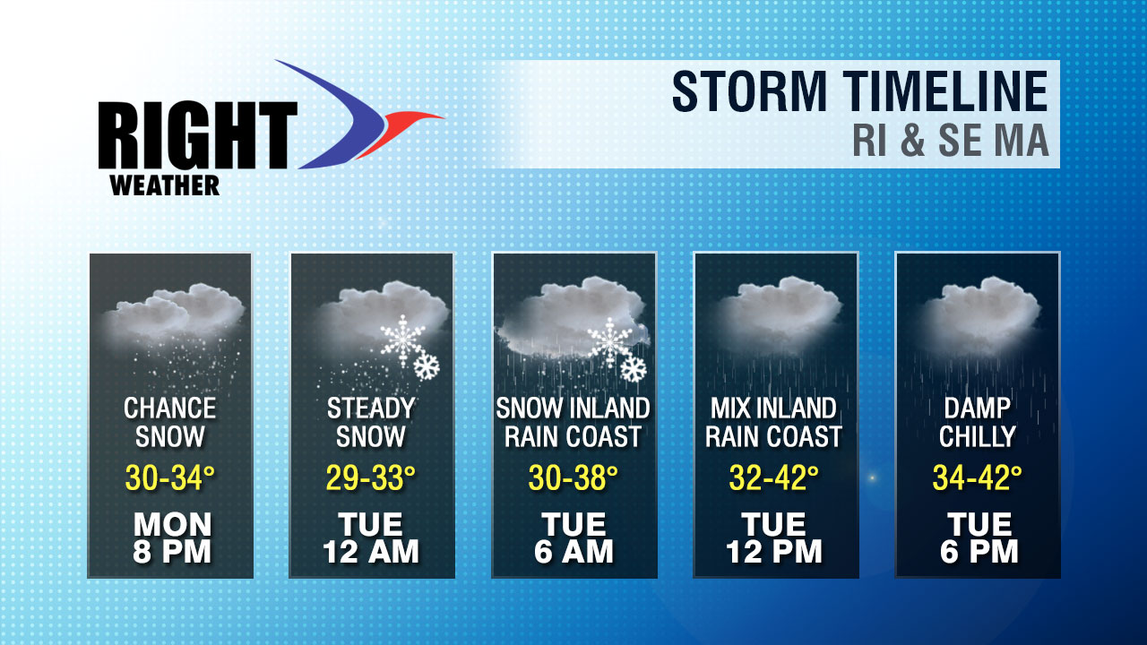
There should be a gradual change from snow to sleet to rain in the I-95 corridor during the night. Farther inland, snow will continue. The best chance of a snowy Tuesday morning commute is in Worcester County. By dawn Tuesday, the precipitation is expected to be rain or sleet in nearly all of RI and SE MA. The commute may still be slowed due to the accumulation of snow that occurred prior to the changeover. It may be a sloppy mess inland. Roads should be wet near the coast.
Rain may be heavy at times Tuesday morning before gradually tapering to showers and drizzle in the afternoon. Interior Southern New England, in Central and Western MA, will continue to see a wintry mix of snow, sleet, and freezing rain during the day. High temperatures will range from the low to mid 30s in those areas, to the low 40s near the coast.
The wind will not be a huge factor with this storm. Peak gusts of 40-45 mph are expected near the coast. More brisk, chilly weather is in the forecast for the midweek.


