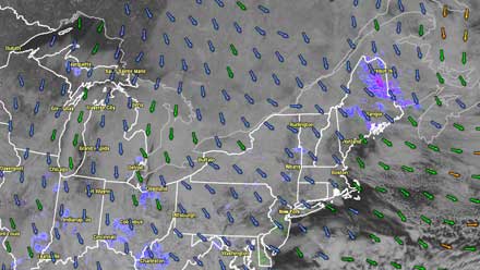
The relatively quiet and mostly cloudy start to March continues with temperatures in the low 40s Saturday afternoon. There will not be much change for the rest of the weekend as the weather in New England continues to be influenced by a storm over Nova Scotia and high pressure over Central Canada. The wind will be out of the north-northwest at 5-15 mph Saturday night and Sunday. A few passing flurries are possible Saturday night and Sunday afternoon, with no accumulation. Lows will be in the upper 20s Saturday night, and highs will be near 40 on Sunday.
The weather will stay uneventful through early next week. There should be a bit more sunshine on Monday, with highs in the low to mid 40s. The wind will swing around to the north-northeast by late Tuesday as a storm develops over the Mid-Atlantic states. Tuesday will become mostly cloudy with some passing rain showers or flurries and highs in the low to mid 40s.
Uncertainty with midweek storm
There is a lot of uncertainty concerning the track of the storm moving from the Mid-Atlantic into the Atlantic Ocean in the middle of next week. While the potential exists for a large storm from the Virginia coast to Southern New England, we do not yet know what track the storm will take. Right now, the computer model consensus has the storm traveling far enough south that there are only fringe effects in Southern New England. If the current projections are correct, Wednesday into Thursday in Southern New England will feature rain/snow showers, breezy to windy conditions, and temperatures in the 30s. There may be some minor coastal flooding at the time of high tide.
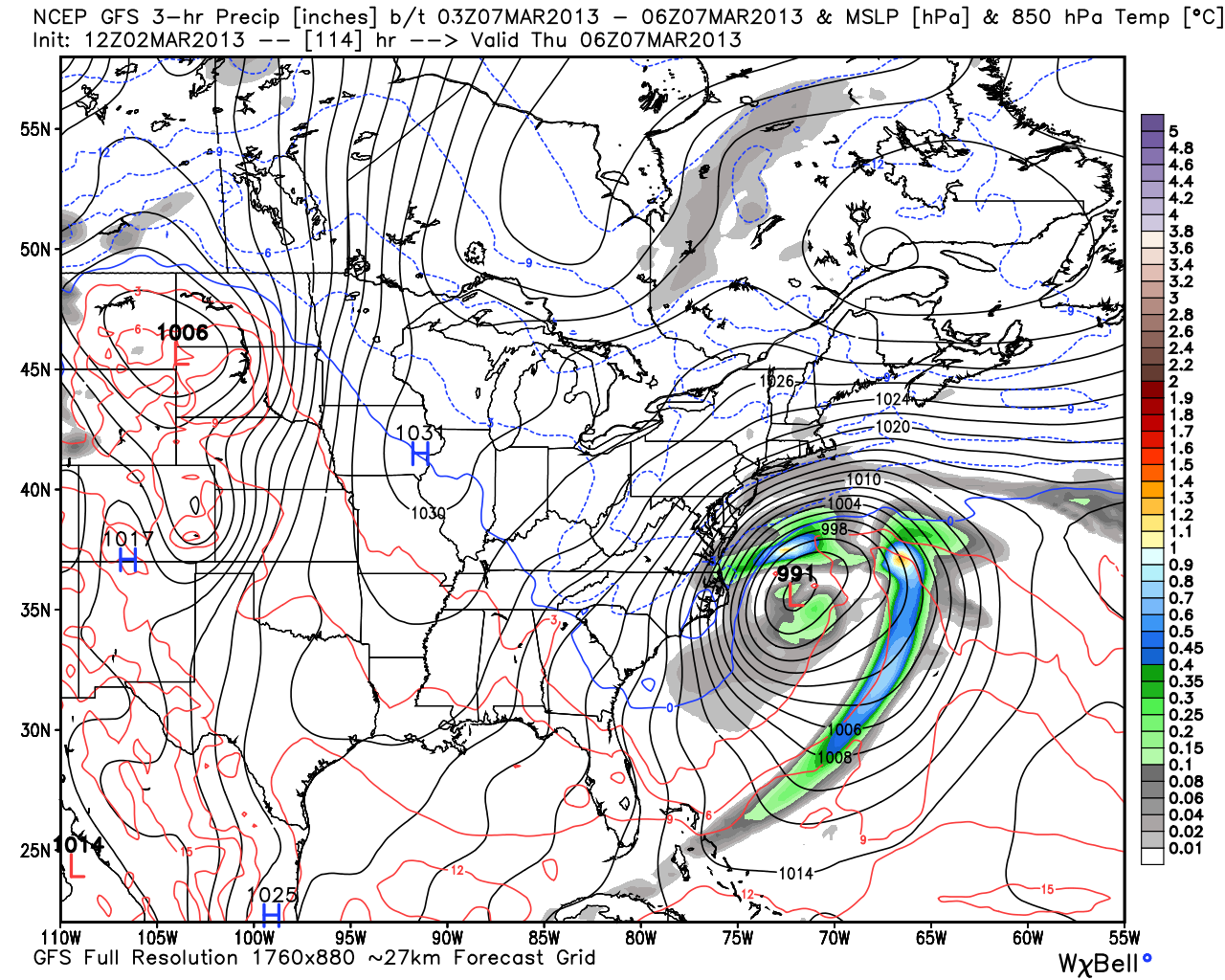
Since it is forecast to be a large storm, a track farther north would bring more significant impacts including heavier precipitation, stronger winds, and an enhanced coastal flooding threat. Given the forecast weather pattern, it is quite possible the storm moves farther north than currently projected, but it may not come far enough north for the brunt of the storm to reach Southern New England. We’ll keep you posted on the forecast as it develops.


