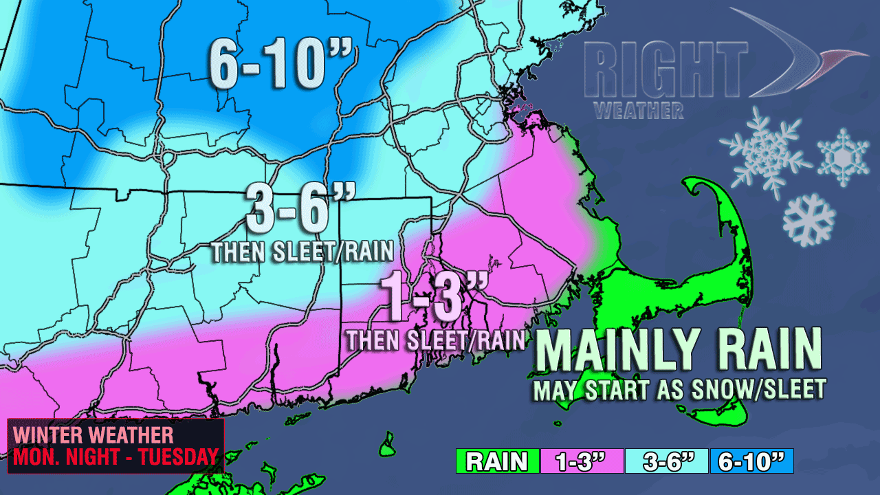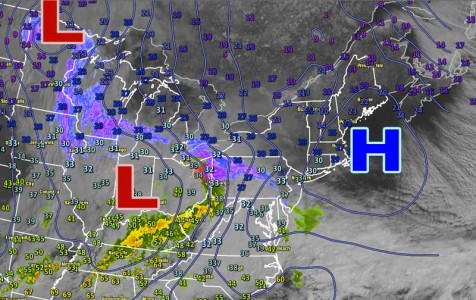
Last year at this time the high temperature was in the 60s and on the cusp of a five-day stretch of 70s/80s in Southern New England. This year we’re making snow accumulation maps! A storm with a nice “front end thump” of snow will bring a new white blanket to much of Southern New England by late Monday night. Cold high pressure parked over New England should hang on long enough for a burst of moderate to heavy snow to occur Monday night before a change to rain in most of Southeastern New England by dawn Tuesday. The timing of the snow at night is critical for accumulation at this time of the year because of the high sun angle during the day.

There will be several inches of snow inland before a change to sleet and rain. Closer to the coast, there will be a minor accumulation before the precipitation changes to a brief period of sleet followed by rain. The jackpot for this storm will be in Northern New England, but the highest terrain of Southern New England will also pick up more than six inches of snow.
It is a very fine line between sleet and snow, and since the precipitation is expected to be moderate to heavy, a one to two hour difference in the forecast vs. actual change to a wintry mix can make a 2-3″ difference in the amount of snow that accumulates. The x-factor with this storm is how quickly the snow changes to sleet in the I-95 corridor. It’s possible the final snow total will be 1″ for the area shaded in pink on the map. The storm is most likely to have the biggest impact on the commute north of Providence, including Boston. A change


