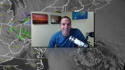
To this point, the March Nor’easter has been a novelty for most of Southern New England. It’s been snowing since late last night, but many areas have little to no snow on the ground. The exception is interior SE MA where several inches has accumulated in the Foxboro, Taunton, Mansfield area.  As the sun sets, the snow will begin piling up. There is a big feed of moisture coming in off the Atlantic Ocean, and the snow will continue all night. The wind will stay strong, too, and some 55+ mph wind gusts are possible on Cape Cod. The rest of Southern New England will see frequent gusts over 40 mph. The combination of wet, accumulating snow and strong winds is probably going to lead to some downed tree limbs and power lines.
This is a storm that should not be taken lightly. Travel will become slick, especially on side roads, tonight as the temperature falls to near or slightly below freezing. The storm will continue to crank tomorrow morning with more accumulating snow likely through mid-morning. Check out the video for more details on what to expect.
There is a significant coastal flooding threat in Eastern MA during the high tides Thursday evening and mid-morning Friday. The high tide Friday morning will produce moderate to severe coastal flooding.


