If the first day of April is any indication of what lies ahead for the rest of the month, then Southern New England is in for one wild ride! The day did a complete 180° turn as a cold front plowed through New England during the afternoon. The high temperature at TF Green was 61° – the warmest in the past two months. The sunny, mild weather did not last for long as the cold front brought gusty showers and thunderstorms in the mid to late-afternoon that lasted into the evening in Southeastern Massachusetts. The storms were accompanied by pea-sized hail in parts of N CT, NW RI, and MA. Winds howled behind the front as much colder weather moved into Southern New England. A day that started out with spring-like weather in the Berkshires quickly turned to a wintry scene as snowflakes flew in the high terrain during the late-afternoon.
Windy and cool midweek
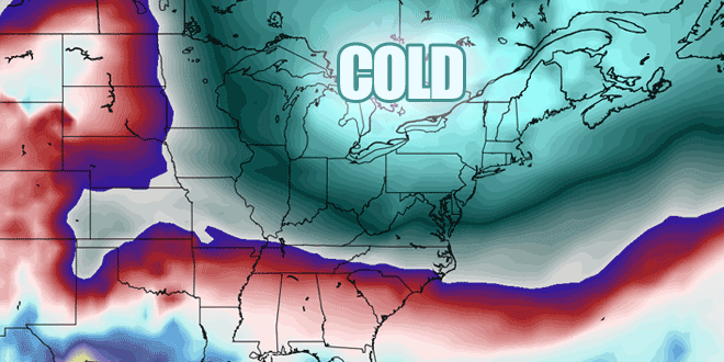
The chilly weather is here to stay for a couple of days. The temperature will nosedive to the mid to upper 20s by dawn Tuesday. The wind will stay active, so wind chills will likely be in the teens inland early Tuesday morning. It will stay windy on Tuesday afternoon. The high temperature will range from the upper 30s well inland to the mid 40s near the coast, even with a fair amount of sunshine. It will feel cooler because of the 15-30 mph breeze.
Tuesday night looks cold, with lows in the 20 again under clear skies. Don’t expect a big warm-up on Wednesday. Once again, it will be partly sunny, brisk and unseasonably cool. Highs will be in the low to mid 40s. Wednesday night will be in the 20s again. Thursday should be milder. Look for a lot of sunshine, less wind, and highs closer to 50.
Close call with a storm on Friday
The late-workweek forecast is tricky. A storm will develop over the Southeastern United States and move northeast into the Atlantic Ocean. The jury is still out on whether that storm will brush by with a few showers for Eastern Massachusetts or bring a steady rain to all of Southern New England Friday into Friday night. For now, the forecast is for mostly cloudy skies with the chance of rain and highs in the low 50s. If there is steady rain, the high temperature will be in the 40s due to a northeast breeze. Hit or miss, the storm should be out of the picture this weekend. It looks dry and seasonable. Highs will be within shouting distance of 50 both Saturday and Sunday.


