With a high temperature near 70°, Wednesday was the second warmest day of the year to date for a good chunk of Southern New England. Thursday will not be quite as nice, but it will not be a bad day, either. Highs will be in the mid to upper 50s with morning sunshine followed by afternoon clouds. At first, there are likely to be high, thin clouds, with the cloud deck lowering and thickening by late in the day or during the evening.
The temperature will drop into the upper 40s Thursday evening, with some mist and drizzle possible through early Friday morning. Friday looks windy, mild, and somewhat unsettled. It’s unclear how much or if the clouds will break up during the day. There is also the possibility of scattered showers in advance of a cold front that will bring steadier rain Friday night. Right now, the forecast is for a day that’s more dry than wet, with highs in the 60s inland and near 60 at the coast. The wind will gust over 30 mph.
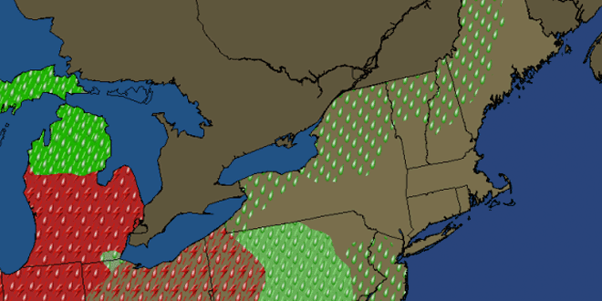
Showers and thunderstorms are likely Friday night into mid-morning Saturday as a cold front pushes through New England. The temperature will be in the low to mid 50s most of Friday night. Rain should end by mid to late morning on Saturday, with some clearing possible late in the day. Afternoon temperatures will likely be in the low to mid 50.
Sunday and Monday both look mostly sunny and a bit cool. The highs will be in the low to mid 50s, and lows will be in the 30s. A slow-moving rain storm is in the forecast for the middle of next week.


