
A strong cold front will plow through Southern New England bringing gusty wind and the chance of late-day showers. The front will be followed by much colder weather this evening. The chill will last through the midweek.
As of mid-morning Monday, the front was located in Upstate New York and Central Pennsylvania. The cold front will move through the Bronx, NY early in the afternoon, with the threat of some showers and windy conditions for the Red Sox vs. Yankees season opener at Yankee Stadium. The front, and best chance of showers, should arrive between 5-7 pm in Southeastern New England. The temperature will be well into the 50s with a brisk west-southwest breeze ahead of the front. As the cold front moves through, there may be some passing, briefly heavy, rain showers accompanied by strong 40+mph winds out of the northwest. The temperature will fall from the 50s to the low 30s by late this evening. The wind will stay active Monday night into Tuesday. Wind chills early Tuesday morning may be in the upper teens inland.
The following was issued by the National Weather Service office in Taunton, MA for all of Southeastern New England.
...A STRONG COLD FRONT MAY RESULT IN A BRIEF PERIOD OF NORTHWEST
WIND GUSTS OF 40 TO 50 MPH THIS AFTERNOON AND EARLY EVENING...

A STRONG COLD FRONT WILL WORK ACROSS SOUTHERN NEW ENGLAND THIS
AFTERNOON AND EARLY EVENING. THE FRONT LOOKS TO CROSS SOUTHWEST
NEW HAMPSHIRE...WESTERN MASSACHUSETTS AND NORTHERN CONNECTICUT
BETWEEN 2 AND 5 PM. THE FRONT WILL THEN CROSS EASTERN
MASSACHUSETTS AND RHODE ISLAND BETWEEN 4 AND 7 PM.

THIS STRONG COLD FRONT WILL LIKELY BE ACCOMPANIED BY SCATTERED
SHOWERS AND PERHAPS EVEN A FEW ISOLATED THUNDERSTORMS. THE MAIN
CONCERN IS THE POTENTIAL FOR A BRIEF PERIOD OF NORTHWEST WIND
GUSTS OF 40 TO 50 MPH WITH ANY OF THE SHOWERS AND A RAPID FALL IN
TEMPERATURES.
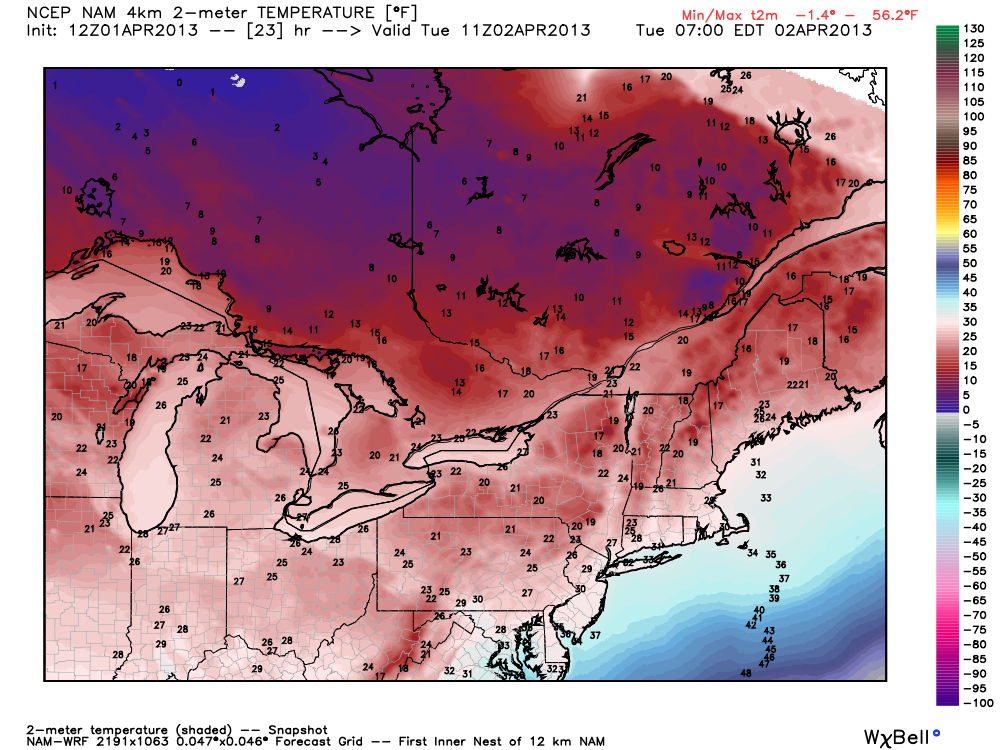
The midweek looks very chilly with highs struggling to get to the low 40s on Tuesday and Wednesday. It will feel colder because of a northwesterly breeze. Both days should feature partly to mostly sunny skies. Lows will be in the 20s. The temperature will average about 10° colder than normal though Wednesday. Thursday morning should start out chilly, with lows again in the 20s, but it will warm up to near 50° with plenty of sunshine in the afternoon.
Rain is possible on Friday as a storm cuts south of Southern New England. The extend of the rain will be determined by how close by the storm passes. Right now, it looks like the first weekend of April will be dry and seasonable in Southern New England.


