Long Range Forecast – April 1

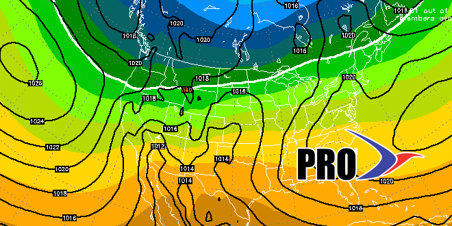
After a mild start, April will take a sharply colder turn for a couple of days. Thankfully, cold shots at this time of the year are not too severe, and usually don’t last too long, either. The temperature should rebound to near 50 by Thursday afternoon, and it will be seasonable into the weekend. We’ll continue to watch the potential for some rain on Friday into Friday night as a storm passes east of New England.
There are no big cold shots in the forecast for next week, and the temperature should average above normal for the week. It does not look like it will be cracking 70° for an extended period of time, but the potential is there for a very mild day or two between April 10-20. It will probably be a little drier than normal over the next couple of weeks. That does not mean that there won’t be any rain in Southern New England, just not the 2″ or so that is normal for two weeks in April.
The Right Weather Spring Outlook is in good shape after the first month. March averaged just 0.4° colder than normal, with about 55% of the normal amount of rain. Our forecast is for a warmer than normal spring (we knew March would be chilly), with below normal precipitation.


