Long Range ForecastRight Weather ProVideos
Long Range Forecast – April 15

Through the first half of April, the temperature has been very close to normal in Providence, Boston, and Hartford. It has been about one degree below normal in Worcester, MA. So far, there has only been about half the normal amount of precipitation. Looking ahead to the last two weeks of the month, it does not appear that there will be a long stretch of warm weather. In fact, it’s similar to what we’ve seen so far – a lot of variability. Here are some of the highlights:
- Wednesday and Friday look like the warmest days this week, but Wednesday is likely to be the nicer of the two
- Friday may be damp, it will be windy.
- Cold front brings showers/t-storms Friday night through Saturday morning. With any luck, the timing of the front will speed up just a bit to allow for a mostly dry weekend
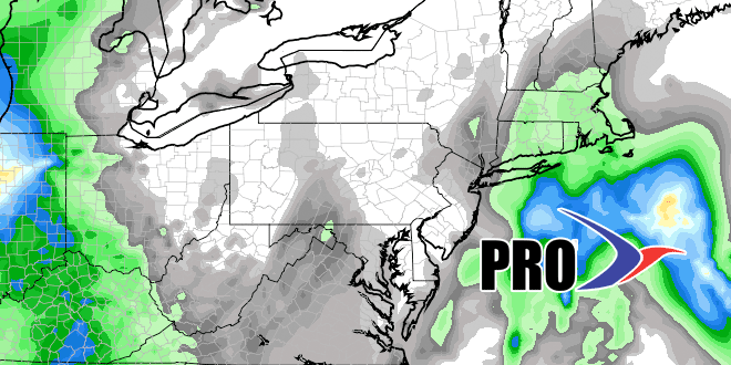
- There is fair amount of confidence in at least one storm next week. Right now, it looks like the best chance of seeing rain is in the middle of the week as a storm develops off the Southeast US and is drawn north by an approaching weather system.
- There is the potential for a decent soaking from the system that arrives next week.


