There has not been a lot of extreme weather so far this month. Only two days have been more than ten degrees warmer than normal, and the coldest day has been nine degrees colder than normal. The average temperature is very close to the normal for the month. After a chilly start to the week, the temperature should moderate by midweek, and stay close to normal through the final weekend of April.
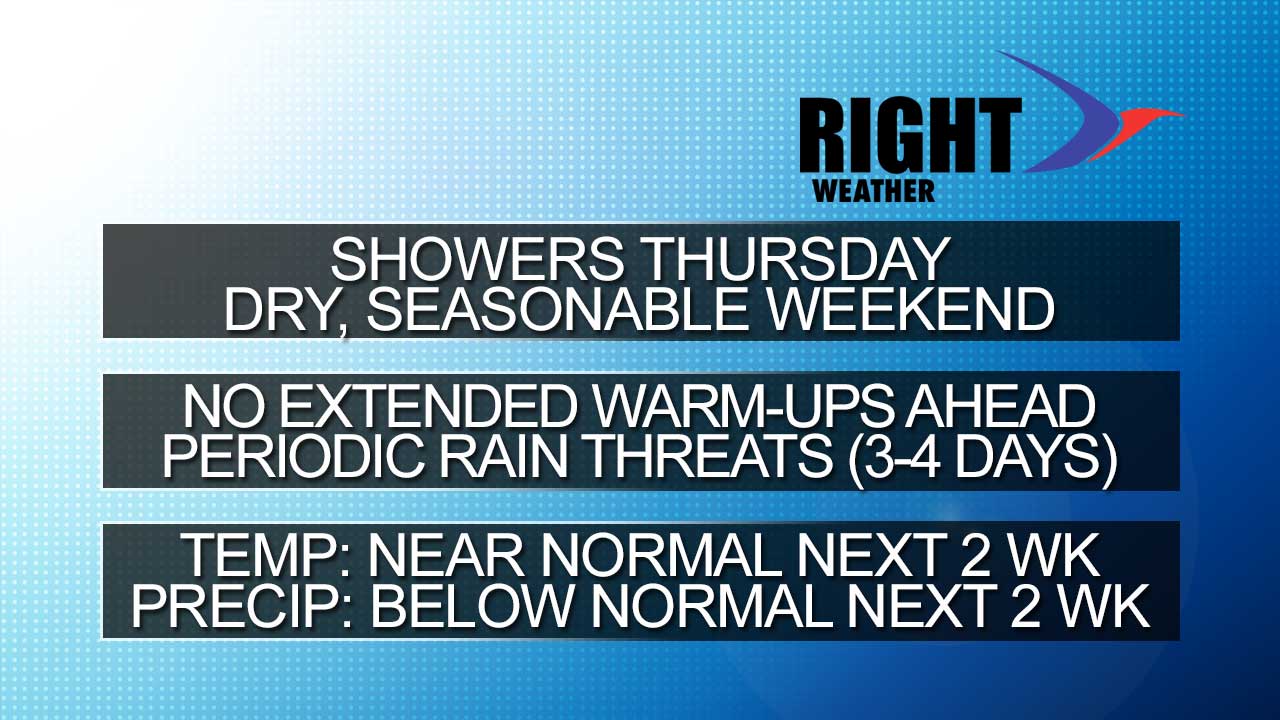
Rain is likely Tuesday afternoon/evening and again Wednesday night and/or Thursday. The Wed PM/Thu AM rain does not look like a big deal. It will stay quiet through the weekend – with more clouds on Sunday. Highs will be close to 60 Thursday through Sunday.
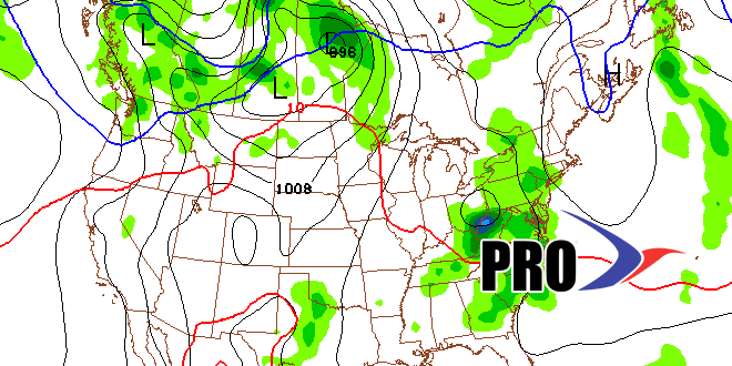
We’ll keep our eye on a cutoff area of low pressure in the early to middle part of next week. If it drifts farther north than currently forecast, than we’ll have to contend with some wet/chilly weather. Overall, that big warm-up that some are hoping for is not in the cards for the next two weeks. There will be some decent mid-spring days, but it is rather unlikely that we’ll see anything that approximates a summer preview. Check the video for more details.