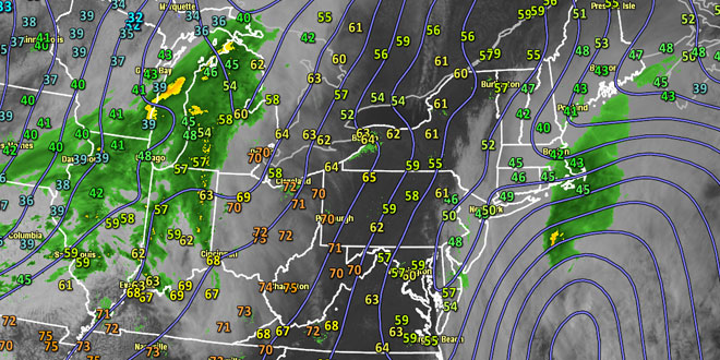
Tuesday was a late-April dud with stubborn clouds, occasional showers, mist, drizzle, a gusty wind, and highs only in the mid 40s. While not pleasant, it is certainly not unusual to have days like this in Southern New England when a storm in the Atlantic brushes by at this time of the year. The storm will continue to bring damp weather overnight before moving away early early Wednesday. The temperature will hold in the low to mid 40s overnight.
 After a gray start, the sky should brighten by midday Wednesday. The temperature will respond to the late-April sunshine, and highs will reach the low to mid 60s in most of Southern New England with mostly sunny skies in the afternoon. The clouds may linger for a while in far Eastern MA. The temperature may not make it to 60 near the south coast, in Plymouth County and on Cape Cod due to a southwesterly breeze off the chilly ocean.
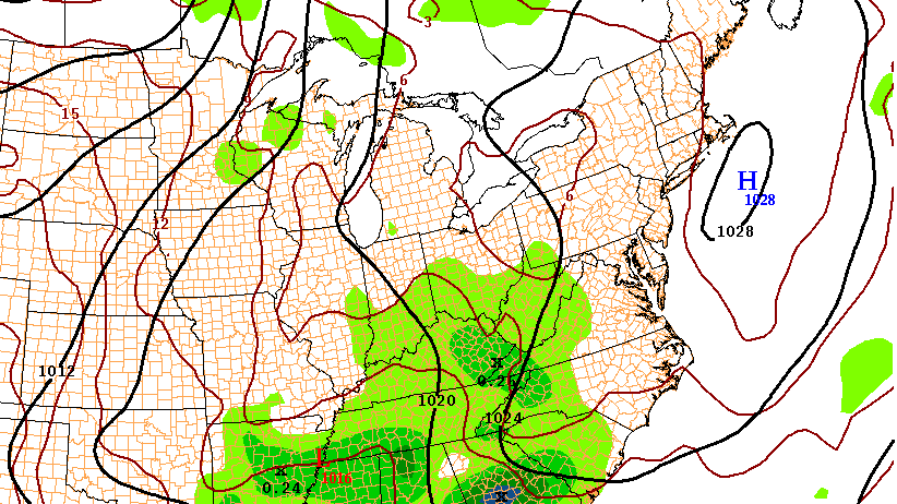
An approaching cold front may trigger scattered showers Wednesday night. It will not be a cold night, with lows in the mid to upper 40s. Thursday should be partly to mostly sunny with highs in the low 60s – just about normal for late-April. It looks like the weather will stay quiet through the weekend into early next week. Highs inland will be in the low to mid 60s. Highs near the coast will be closer to 60.
Overnight lows will be close to 40 in most spots, with some cooler readings in the countryside. The frost threat is certainly not over, and it’s still a bit early to plant vegetation that is vulnerable to the cold in Southern New England. The sky should be mainly clear Friday and Saturday, with some high, thin clouds on Sunday.


