Dry and seasonably cool have been the buzzwords for the past couple of weeks in Southern New England. The dry stretch that has persisted for the past 10-15 days will continue for another couple of days before rain finally arrives in the midweek. There will be a slight warming trend before the rain arrives.
Monday will begin with partly to mostly cloudy skies, and temperatures in the low to mid 40s. It should become partly to mostly sunny as the day progresses. Once again, there will be a sea breeze, and that will help to keep the coast 5-10° cooler than inland locations. Highs will be in the mid 60s inland, and close to 60 near the coast. There will be some low clouds on Monday night, and the temperature will fall into the mid to upper 40s by dawn Tuesday. It will be one of the milder nights of late.
Low clouds will give way to mild sunshine by midday Tuesday. The high temperature will likely reach 70° inland. A southerly breeze will keep the coast closer to 60°. Clouds will increase late Tuesday, and a few showers are possible late Tuesday into Tuesday night. The showers will likely be widely scattered and will most likely not be enough to cancel or postpone outdoor activities Tuesday evening. It looks unseasonably mild Tuesday night, with lows in the low to mid 50s.
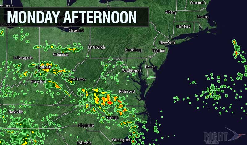
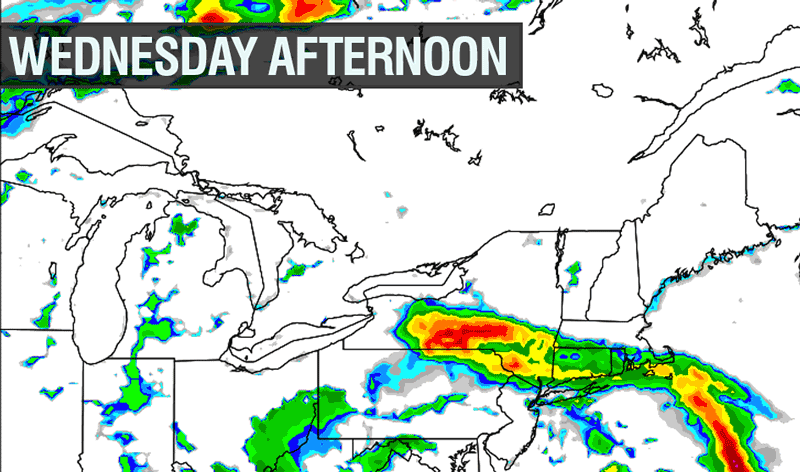
A very slow-moving storm system that drenched the Tennessee Valley and Southeast over the weekend will finally make its presence felt in Southern New England on Wednesday. The storm will be weakening, but should have enough punch for occasional showers. The best chance of rain on Wednesday is in the afternoon and evening. Highs will be in the low 60s under mostly cloudy skies. The breeze out of the east combined with thick clouds will keep the temperature steady in the low to mid 50s Wednesday night into Thursday. More showers are possible on Thursday as the storm system continues to spin over the ocean south of Southern New England. Highs will be in the upper 50s to low 60s.
Friday should be partly cloudy with the chance of some afternoon showers and thunderstorms. It will be a bit warmer, with highs in the mid to upper 60s. A somewhat unsettled weather pattern will continue into the Mother’s Day weekend. The details are still vague, and, right now, it’s difficult to stay when the best chance of rain is. At this point, the highest likelihood for wet weather is Saturday night into Sunday morning. We’ll keep you posted.
Cover photo by 02809photo.com


