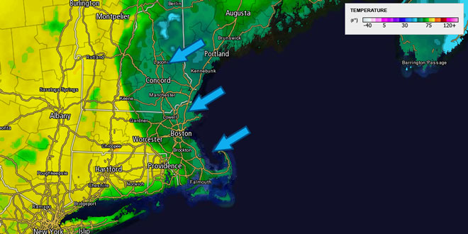
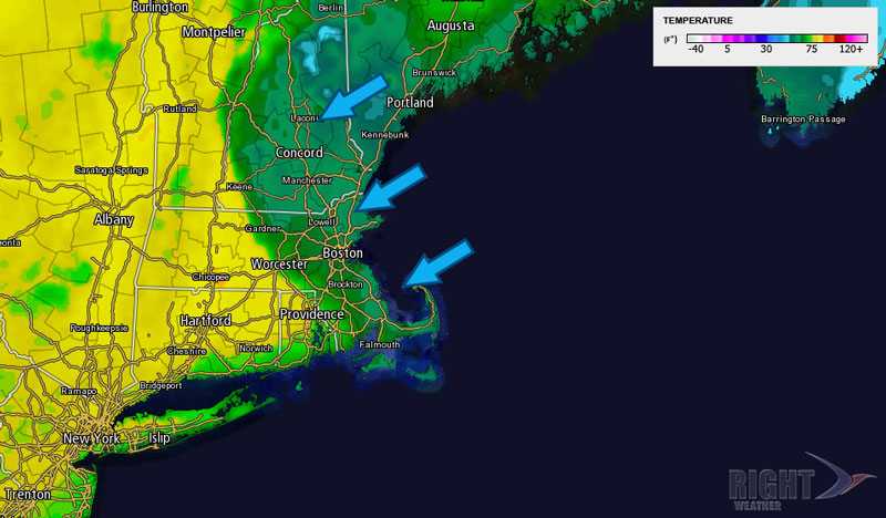
The temperature soared into the 70s in many locations on Thursday afternoon ahead of a back door cold front that moved through early Thursday evening. The back door front represents a wind shift to the east-northeast that dropped the temperature about ten degrees within an hour or two of the increasing northeast wind and cloud cover. Clouds and a few showers will move through Thursday night, and the sky should be clearing by dawn Friday. The low temperature will be in the low 40s.
Friday will be partly to mostly sunny, breezy and cool. Highs will struggle to reach 60 with a northeast breeze between 10-25 mph. The temperature will not get out of the mid 50s in Eastern MA due to the breeze coming in off of the chilly ocean. Highs pressure from Eastern Canada will continue moving into New England this weekend. Saturday and Sunday look mostly sunny and seasonable. Highs will be in the low to mid 60s, and lows will be in the 30s to low 40s with dry air in place. Both days will feature an onshore breeze near the coast. That will knock the temperature back into the 50s during the mid to late afternoon.
The same weather system that brought spring snow to the Rockies and Midwest will slowly move into the Southeastern United States by the end of the weekend. Early next week, that weakening area of low pressure will drift to the northeast. It will be a slow-mover next week, too, and it is unclear how far north it will get, and what the ultimate impact will be in the Southern New England. Right now, the forecast is for dry weather Monday and Tuesday, with the chance of showers Wednesday and Thursday.


