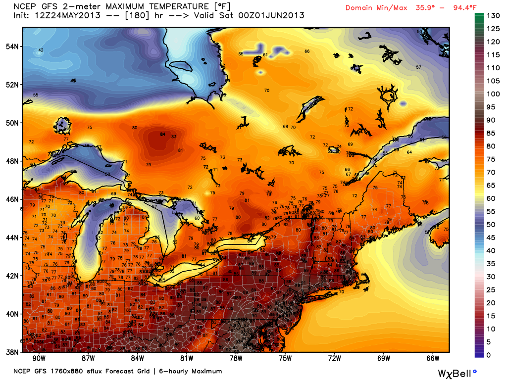
Southeastern New England remained on the mild side of a front Friday afternoon that promises to bring much colder weather to start the Memorial Day weekend as a storm develops just east of New England. The temperature was in the 30s and 40s over parts of the interior Northeast Friday afternoon, and similarly cold weather will be found in New England by late Saturday. The forecast news is not all bad, though. Brighter skies are expected by either late-Sunday or on Memorial Day, and there is some mid-summer heat in the forecast before the end of next week.
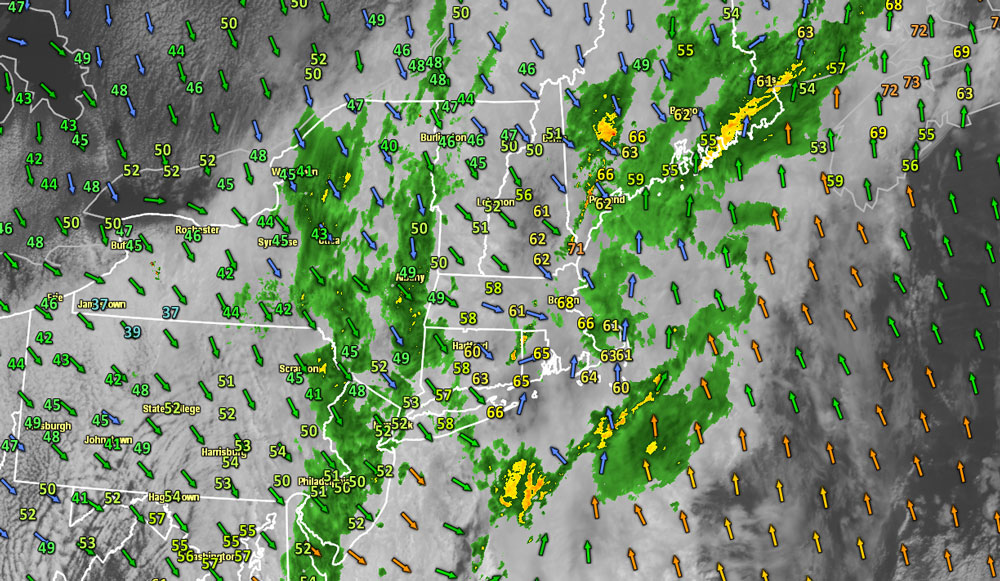
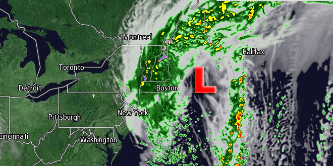
The temperature will fall from the 60s to the upper 40s by late Friday night as the wind swings around to the north with a front moving offshore and a storm developing along it in Cape Cod Bay. Showers are likely Friday night, with the steadiest rain likely from the I-95 corridor west through the rest of New England. Saturday will feature showers, a gusty north-northwesterly wind, and falling temperatures. By mid-afternoon, the temperature in RI and SE MA should be in the low to mid 40s – 25-30° below the normal high temperature for this time of year!
Snow in New England Saturday night
Saturday night looks brisk and chilly, with lingering showers. It will be very cool for the Waterfire in Providence, with temperatures in the low 40s, and wind chills in the low 30s. Some snow is possible in the higher terrain of New England from the Berkshires to the mountains of Northern New England as the storm spins offshore. In Southeastern New England, the temperature may fall into the mid to upper 30s from Worcester County to Northern RI by dawn Sunday.

The storm will drift away from New England during the day on Sunday. It will stay relatively cool for late-May, but it will not be as bone-chilling as Saturday. Highs should reach the mid 50s to low 60s depending on the amount of afternoon sunshine. The temperature will dip into the 40s again Sunday night as the sky clears with the storm reaching the Canadian Maritimes. This time of year, the weather fortunes can change in a heartbeat, and it looks like Memorial Day will be quite nice with highs approaching 70° under mostly sunny skies.
Summer heat possible by the end of next workweek
Looking further ahead, Tuesday should be a beauty, with sunshine and highs in the low to mid 70s inland, and 60s near the coast. You can expect more clouds, and maybe a few showers, on Wednesday as a warm front approaches the Northeast. The early outlook is for the warm front to pass by early-Thursday, and the temperature may soar through the 80s to near 90 inland by as soon as Thursday afternoon. That’s quite a turnaround from the weather that we’ll endure at the start of the holiday weekend!