Long Range Forecast – May 16

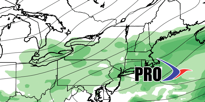
This week has gone according to the plan with warmer weather arriving on Thursday following the warm frontal showers on Wednesday afternoon. Thursday looks like the warmest for a while, with an onshore breeze keeping it closer to normal for the next several days. Dry weather lasts through the weekend, then it gets unsettled next week. The on again, off again Monday showers are on again. The disturbance will act like a warm front and allow for some milder weather to arrive for Tuesday. There could be a break in the rain through the midweek before showers/thunder threaten Thursday into Friday. The outlook for Memorial Day weekend is for a cool start with gradually moderating temperatures. See the video for more details on the pattern.
In case you missed it…the Right Weather spring outlook issued in late-February is turning out to be a decent forecast. Here are the headlines:
Providence temps: March -0.4°, April -0.1°, May (so far) +0.9
Thought it would be a slightly dry spring. It’s actually been much drier than normal for the past couple of months. Moderate drought right now in CT, W MA, and W RI. Rain should help that next week.


