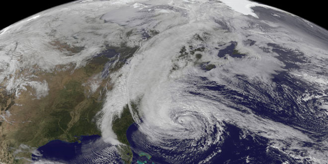
All indications are that there will be plenty of storms to track during the hurricane season beginning on June 1. NOAA’s Climate Prediction Center is predicting another active or extremely active hurricane season in the Atlantic Basin, which includes the Atlantic Ocean and Gulf of Mexico. While the forecast does not project where or if the storms will make landfall, it does provide a range of how many storms the Climate Prediction Center believes will form during the hurricane season from June through November.
The official forecast has a 70% likelihood of the following:
- 13-20 named storms (winds 39 mph or higher)
- 7-11 hurricanes (winds 74 mph or higher)
- 3-6 major hurricanes (Category 3, 4, 5; winds 111 mph or higher)
The seasonal averages are:
- 12 named storms
- 6 hurricanes
- 3 major hurricanes
NOAA bases its forecast on three climate factors that are known to have a strong influence on hurricane activity in the Atlantic Basin.
- A continuation of the atmospheric climate pattern, which includes a strong west African monsoon, that is responsible for the ongoing era of high activity for Atlantic hurricanes that began in 1995;
- Warmer-than-average water temperatures in the tropical Atlantic Ocean and Caribbean Sea; and
- El Niño is not expected to develop and suppress hurricane formation.
NOAA also announced a new supercomputer model (HWRF) that will come online in July to help with predicting storm structure and intensity.
Click here for the full briefing from NOAA: http://1.usa.gov/10nuwoP


