Thursday was the first 90° day of the year at TF Green Airport in Warwick, RI. The last time the mercury touched 90° was August 31, 2012. It felt a few degrees warmer due to the dew points in the mid to upper 60s. A few early evening thundershowers popped up in Southern New England as a weak disturbance moved through. The A/C may be running for the first time since last summer tonight as the temperature drops into the mid 60s and it stays muggy. Some patchy fog is possible near the coast.
Thunderstorm in Central Connecticut as seen from Bristol, RI #riwx #ctwx pic.twitter.com/TL0Biu3sgG
— Fred Campagna (@FredCampagna) May 31, 2013
Tomorrow looks like another hot, humid day away from the coast. It may be 2-4° warmer than Thursday in many inland locations. A 10-20 mph southwesterly breeze will keep it 10-15° cooler at the beaches. Be sure to check out the new Right Weather beach forecasts for the latest weather and surf conditions at several Southern New England beaches. Click here: http://bit.ly/beach-forecast or use the drop-down menu to select your favorite beach on the right side of this page. An Air Quality Alert is in effect for all of Southeastern New England on Friday. Ground level ozone may approach or exceed unhealthy standards in CT, RI, and SE MA.
If you don’t use the air conditioner Thursday night, you may give in and use it Friday night. Once again, it will feel like a mid-summer night with low temperatures in the mid to upper 60s inland, and low to mid 60s near the coast. The sky should be mainly clear with some patchy fog near the coast. Some inland locations may reach 90° again Saturday, making this the first heat wave of 2013. It will be hazy, hot, and humid inland. Highs will flirt with 90 again. The wind direction will be out of the southwest again, helping to keep the coast cooler.

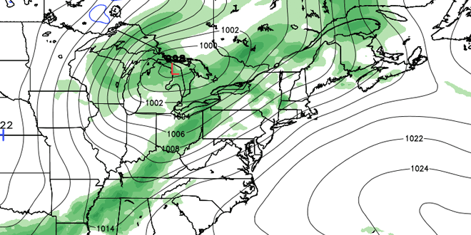
An approaching cold front will not arrive in time to bring rain before the weekend ends. Sunday should be partly sunny, very warm, and muggy. The wind will be stronger out of the southwest on Sunday. It should reach 15-30 mph near the coast in the afternoon.That will keep the high temperature at the beaches in the low to mid 70s, with it turning cooler after 2 pm. It’s possible some low clouds and fog will move into the south coast by late in the afternoon or early in the evening. Inland, you can expect sun and clouds and highs in the mid to upper 80s. Showers and thunderstorms are possible after dark Sunday, with the chance of rain increasing after midnight.
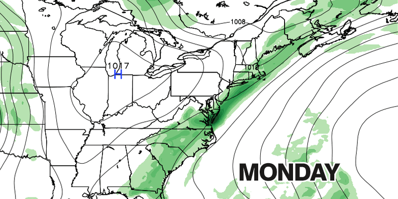
The front will move very slowly through Southern New England on Monday. As a result, showers and thunderstorms are a threat for most of the day. Highs will be in the 70s. Much drier air will move in for the middle of next week. It looks mainly clear and pleasant Tuesday through Thursday. Highs will be in the 70s, with lows in the 50s – just about normal for early June.


