
Tuesday was another pleasant late-spring day in Southern New England. Clouds streamed in during the afternoon after a clear and cool start. It was the fourth consecutive day with lows in the low to mid 40s in the Providence area. The normal low is 52° at this time of the year. The high temperature was in the low to mid 70s inland and 60s at the coast.
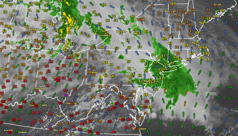
An area of rain near New York City represented the leading edge of progressively warmer and muggier air. Some showers are possible Tuesday evening, with a better chance of showers and thunderstorms after midnight. The temperature will fall into the mid to upper 50s overnight. Showers and storms may linger Wednesday morning as the warm front continues pushing to the northeast. Look for drier weather in the afternoon. There may be some sunshine with highs in the upper 60s to mid 70s. It will become noticeably more humid during the day.
Wednesday night will be mild and muggy with some patchy fog developing. The low temperature will stay in the 60s. It will be in the low 60s near the coast, and low to mid 60s inland. It’s probably a good idea to get the air conditioner ready to go because the very warm, muggy weather will stick around through the weekend. Thursday should become partly sunny with highs in the upper 80s to low 90s inland. A southwesterly breeze will keep the coast 10-15° cooler. Friday and Saturday look very similar, with some early clouds and fog followed by hazy sunshine and highs within shouting distance of 90° inland, and closer to 80° near the coast. Even though it will be hot inland, the southwesterly breeze over the 60° ocean could have a the beaches in the 60s to low 70s by late in the day from Thursday through the weekend.
Sunday should be another very warm day, with highs well into the 80s inland. An approaching cold front may trigger thunderstorms to break the heat late in the day of Sunday night. The early outlook for next week is for the chance of showers Monday and much drier, cooler weather on Tuesday.


