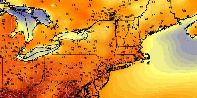
There was a welcomed break in the rainfall for most of Southern New England Thursday afternoon. It did not last for long, however, and by 7 pm, light rain had redeveloped over most of CT, interior MA, and NW RI. A period of moderate to heavy rain is possible overnight as a storm develops south of SNE and scoots by early Friday morning. A Flood Watch and Wind Advisory remain in effect for parts of the area. The wind may gust over 40 mph on Cape Cod and the islands late Thursday night or early Friday.
After a damp, windy, cool start, the weather will slowly improve on Friday. Steady rain should end by mid-morning, and the clouds may break up a bit during the afternoon. The temperature will climb into the 60s during the afternoon – low 60s if clouds are stubborn, mid to upper 60s if there are extended breaks of sunshine. The downside to seeing some sunshine is the potential for a few pop-up afternoon and early-evening showers or t-storms because of the unstable air over SNE. The sky will clear Friday night.
All week long we have been advertising nice weather for the Father’s Day weekend, and that is still the case. Saturday may be the better of the two days, but both should be a heck of a lot better than most days of late. Saturday will be mostly sunny with lows in the 50s, and highs inland in the low 80s. It will be a few degrees cooler near the coast where a sea breeze will kick in. There will be no noticeable humidity with dew points in the 40s.
Saturday night looks clear and comfortable, with lows in the 50s. After a sunny start, clouds will slowly increase on Sunday. The wind will pick up out of the south-southwest to 15-25 mph in the afternoon. Highs will be in the low to mid 70s near the coast, and close to 80 inland. An approaching front may trigger rain showers Sunday night into early Monday.
The weather looks somewhat unsettled early next week, with the threat of showers through Tuesday. Right now, it looks like the best chance of showers is Monday night. Dry, pleasant weather should return by late Tuesday. There are no signs of excessive heat or humidity in the forecast for the next week.


