The odds of seeing another significant rain event in Southern New England are quite high for Thursday PM into Friday AM. The storm, which many were hoping would slide south of Southern New England, will come close enough to bring the potential for another inch or more of rainfall. Some of the harder hit areas in SNE could see another two inches of rain on top of what has already been a soggy month.
The potent storm also has the potential to produce severe weather south of center of circulation. Right now, it looks like the severe threat is for the Mid-Atlantic states north to about NYC. If the storm tracks farther north than currently projected, SNE could wind up facing the potential for severe weather in addition to the rain.
At this point, the consensus is for another 1-2″ of rain beginning Thursday afternoon and lasting until, at least, early Friday. It will be breezy and unseasonably cool, with temperatures in the low to mid 50s during the storm.
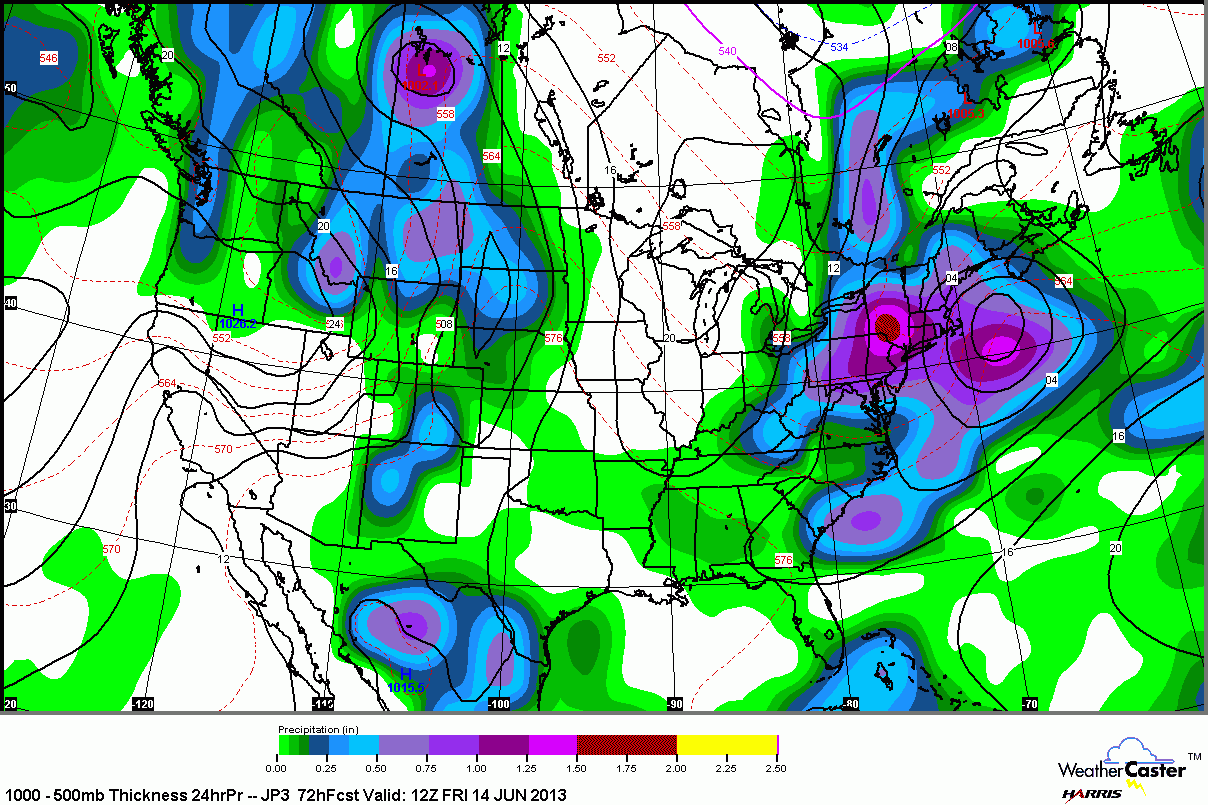
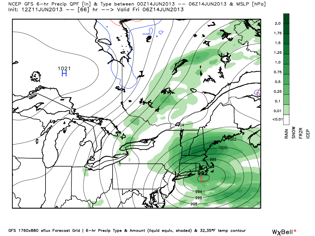
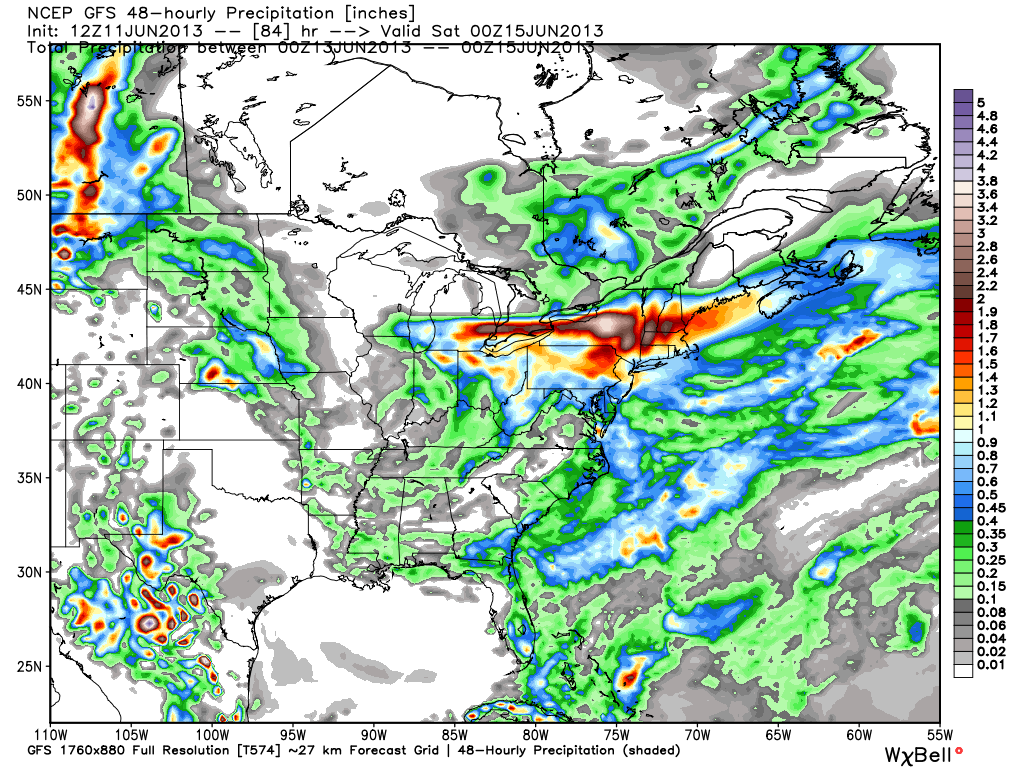
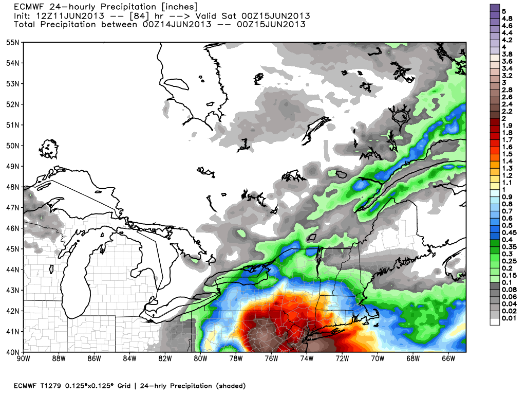
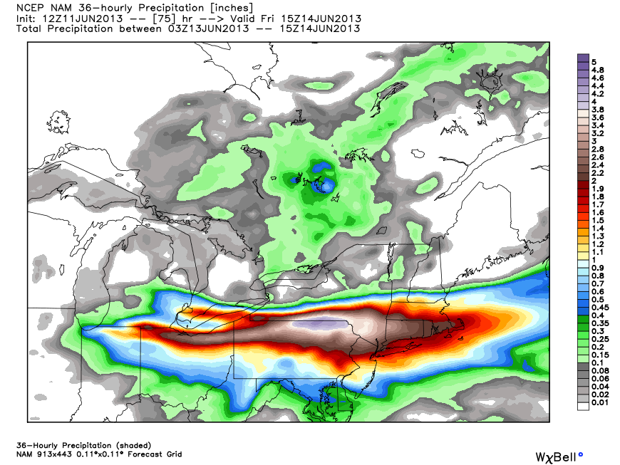
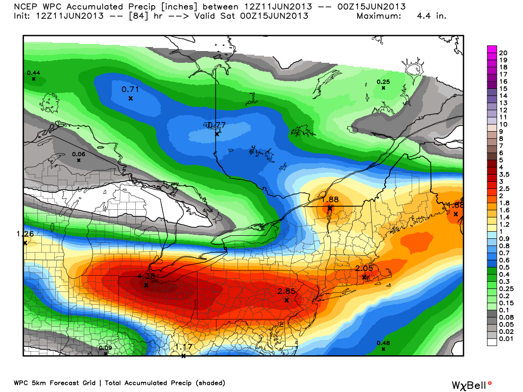
JMA has not changed much from yesterday. A decent soaking for SNE, storm track to the southGFS track is just a bit farther north than other models, therefore the heavier rain shifts to the north. That looks more like a winter or early spring storm rather than a summer storm.GFS has the bullseye of precipitation much farther north than other models. Predicts 0.75-1.5″ for Southeastern New EnglandECMWF – although it brings a bit less rain to SNE, the ECMWF is also slower with the system, and drags the rain out through the day on FridayECMWF has about an inch of rain in the Providence area, with more over the Mid-Atlantic states – this looks like the best-case scenario of all the models today.Canadian total precipitation of 2-3″ by the end of the workweek – includes forecast for Tuesday PMCanadian model is farther north than prior runs. Falling right in line with other models.NAM has the potent system south of Long Island by late Thursday evening. It looks like a small Nor’easterNAM produces another 2″ of rain by midday Friday – included Tuesday PM rain forecastNOAA Weather Prediction Center lays out another 2+” of rain by the end of the week – includes Tuesday PM rain forecastHigh-resolution NAM brings heavy rain, chance of thunderstorms, to SNE by late Thursday