Long Range Forecast – June 17

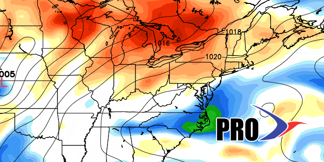
The 9″ of rain at TF Green so far this month is impressive, but I’m actually more stunned by the fact that the temperature is still averaging 0.5° above normal. It seems like there have been so many cool days and nights, yet it still a hair warmer than normal. Some of the rainier days were not that much cooler than normal because the temperature stayed in the 50s at night – not far from normal. Looking ahead, Providence will continue to see the temperature averaging at or above normal over the next couple of weeks. There are not any huge, extended warm-ups in the cards, as the pattern will not be changing that much in the next couple of weeks. It will be warm in most of the country, but the core of the hottest weather will have a difficult time reaching New England because of a steady parade of cold fronts and a boundary that keeps the threat of showers and storms in the forecast on some of the potentially warmer days – the clouds and showers may shave a few degrees off the potential high temperatures with no rain threat.
Providence has a very good chance of being in the top-two, and possibly the rainiest month of June on record by the end of next week. As of Monday afternoon, the total for the month is 8.99″ – the rainiest June since 1905 occurred in 1982 when 11.08″ fell.


