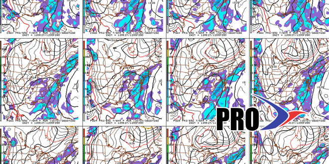
Long Range Forecast – June 27

All along we’ve been telling you that this summer would be different than some of the consistently hot summers in Southern New England over the past few years. While it’s been warmer than normal so far this month, there have only been six days warmer than 84° in the Providence area. The weather in the next couple of weeks will likely be warmer than normal, but most of the “warmth” will be at night, when low temperatures will be in the mid to upper 60s – about 5-7 degrees warmer than normal on most nights. Daytime high temperatures may actually average below normal in the next couple of weeks because of the persistent cloud cover that will plague Southern New England.
It has, as you know, been quite wet, and with heavy showers in the forecast for the last few days of the month, there is a decent chance of breaking the record for rainiest June in the Providence area. The record was set in 1982, and records date back to 1905.
The next seven days will be the wetter of the two weeks ahead. There is likely to be some rain in the second week, too, but there should be a few rain-free days. That is something that will be hard to come by in the next 7 days. At this point, it’s too early to talk specifics about the weather for July 3-5. Right now, the forecast is for showers and thunderstorms, but it’s hard to know exactly when they’ll occur.


