Long Range Forecast – June 3

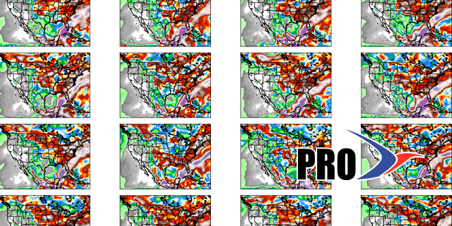
In case you missed the Right Weather summer outlook, the call for June was for unsettled weather, with high temperatures below normal. The forecast was for near-normal temperatures in June because the low temperature on days like Monday is well above normal due to the onshore breeze and clouds. That forecast rings true as we look at the next couple of weeks. In last week’s Long Range forecast we talked about a pleasant midweek stretch with the chance of rain along the Eastern Seaboard during the weekend. The forecast is coming into better focus, and it looks like the lion’s share of the rain comes Friday through Saturday as a system with tropical origins moves out of the Gulf of Mexico and rides right up the East Coast. A super-soaker is possible, with the potential for more than 2″ of rain in Southern New England. It’s early in the forecast game, and the axis of heaviest rain could be west or east of Southern New England depending on the track of the storm. It’s unclear if the system will become Tropical Storm Andrea in the Gulf of Mexico before moving north. Either way, it promises to bring a lot of rain from Florida to most of the East Coast.
The overall outlook from next week through Father’s Day weekend is for an active weather pattern that includes more rain than normal, and temperatures that are near to below normal. There will be some nice days mixed in, but no extended (4-5 day) stretch of summer-like weather is in the forecast for the next couple of weeks. Check the video for all the details on the weather pattern.


