A weakening line of thunderstorms moved through Southern New England early Monday evening. It should be partly cloudy with patchy fog after midnight. Lows will be within a few degrees of 60 early Tuesday morning. A couple of weather systems will combine to threaten Southern New England with more showers and thunderstorms on Tuesday.
A cold front will move into Western New England by late in the morning. It will likely spark some showers and storms that could drift into Southeastern New England by midday. Scattered showers and storms are possible during the afternoon. Once again, there could be some heavy downpours. Highs will be in the low to mid 70s – considerably cooler than Monday.
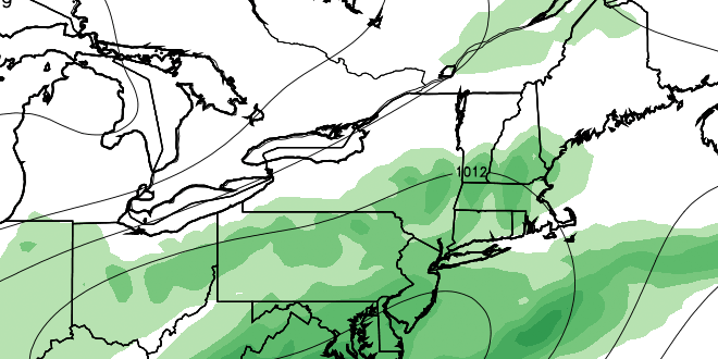
An area of low pressure will be developing over the Mid-Atlantic states at the same time that the front is moving through Southern New England. This storm will pass south of Southern New England Tuesday night, brining the chance of rain near the coast. The wind will swing around to the north-northeast by late Tuesday night. Wednesday may start out cloudy, but increasing sunshine is in the forecast, and the afternoon should be pleasant and dry with highs in the low to mid 70s.
Fine weather is in the forecast for Thursday. It will be in the mid to upper 70s under mostly sunny skies on Thursday. The humidity level will be quite comfortable for late-June. Friday through the weekend should be partly sunny and warm with highs in the low 80s inland, and 70s near the coast. There is the chance of isolated afternoon t-storms well inland.


