Saturday turned out to be a decent day in most of Southern New England. Strong late-June sun burned through the clouds everywhere except Lower Cape Cod and the islands. The sunshine combined with muggy, unstable air may lead to some evening thunderstorms in interior Southern New England. It will become mostly cloudy overnight with some patchy fog developing – especially near the coast. Lows will be in the mid to upper 60s.
Sunday does not look as nice as Saturday, with another surge of showers and thunderstorms moving in from the south and west. The best chance of rain is during the afternoon and evening. It may become partly sunny for a brief time before the clouds fill back in. There is a better chance of the sun breaking through inland compared to the coast. Highs will be in the low 80s inland, and in the 70s near the coast. Once again, there will be a south-southwesterly breeze between 10-20 mph. The persistent wind direction is leading to some high surf at area beaches. Check out the forecast for Easton’s Beach in Newport.
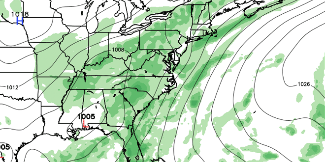
Showers and thunderstorms are likely Sunday night. The high mild air is capable of holding a lot of moisture and there could be some very heavy downpours. Localized flash flooding is possible in the areas that see near-stationary storms. At this point, it’s impossible to know where those storms will be. In the past couple of days, there has been heavy rain and flooding in parts of CT, W MA, and SE MA. Lows will be in the mid to upper 60s.
The weather will stay quite unsettled early next week. Occasional showers and storms are in the forecast for Monday and Tuesday. It will stay muggy and mild, with overnight lows in the mid to upper 60s, and daytime highs in the 70s near the coast, and close to 80 inland. The axis of showers may shift far enough west to allow for mainly dry weather from Wednesday through Friday.
The latest outlook is for clouds/fog at night, and partly sunny skies during the day. It will be very warm inland, and muggy everywhere. Highs will be in the mid to upper 80s away from the coast. It will be closer to 80 near the coast with a southwesterly breeze. While the pattern looks drier, scattered afternoon showers and storms cannot be ruled out.


